In Gran Paradiso Park... Valnontey
Cogne
-
Difficulties:Not too difficult
-
Best period:
May - October
-
Departure:Cogne (1544 m)
-
Arrival:Cogne (1544 m)
-
Difference in level:200 m
-
length:12 Km
Description of the route
Technical difficulty: esy / medium
Physical difficulty: medium
Bike-friendly: 100%
Type of Route: unpaved footpaths – short section of asphalt road
Footpath signposts: 23 – 22
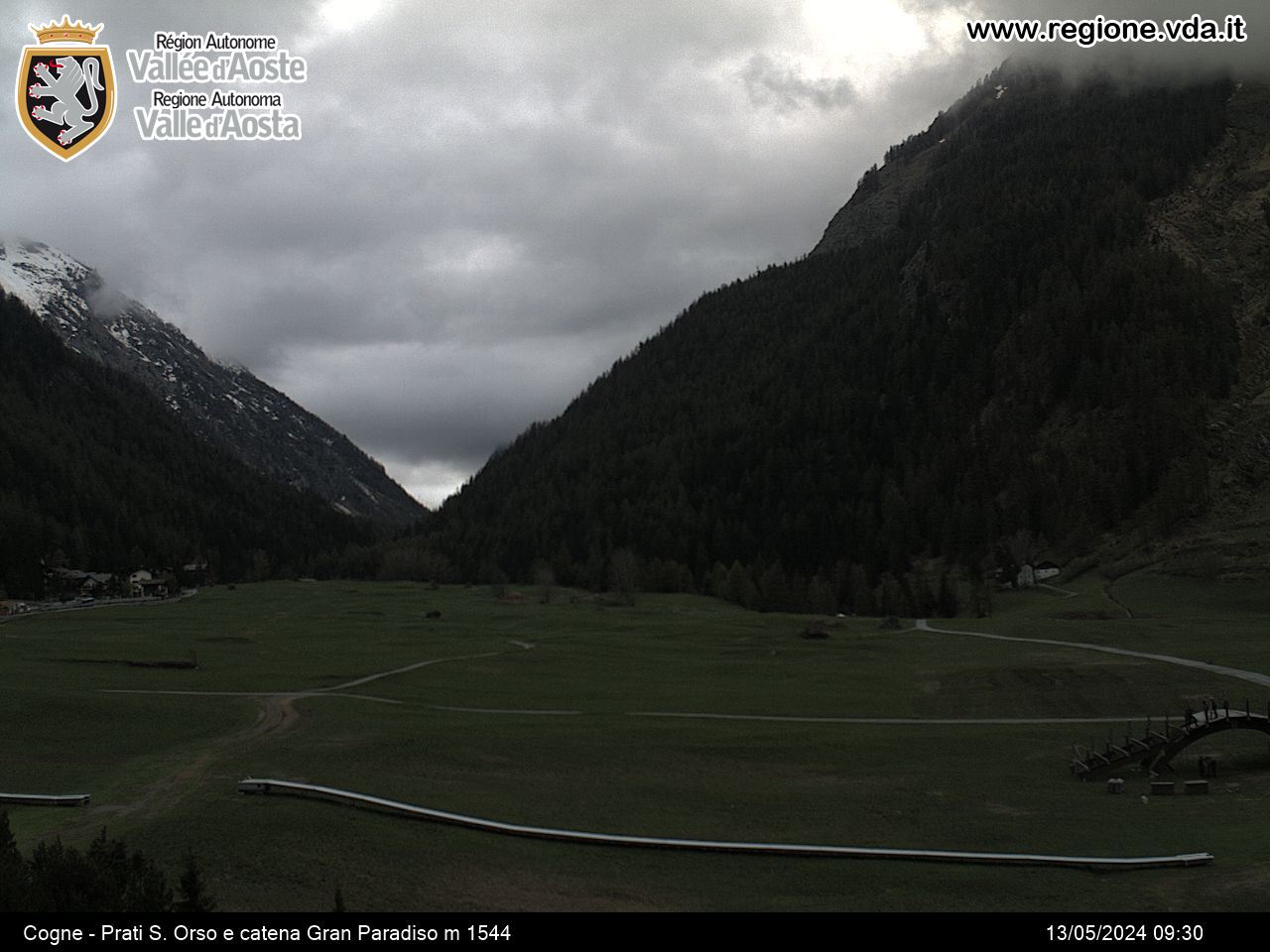
From Cogne square, cross through the Sant’Orso meadows until you reach Buthier cross, go over the wooden bridge over Valnontey torrent, turn left and begin to climb uphill on the left-hand side towards Valnontey valley.
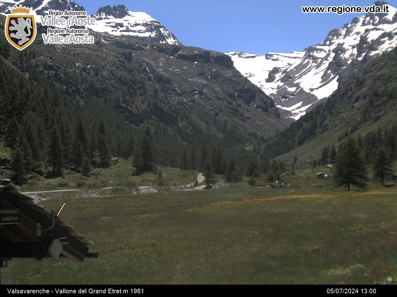
The trail steadily climbs uphill, alternating between flat stretches and short uphill sections until you reach the village of Valnontey (1667 m).
From here, continue through the valley, staying on the left until you reach the hamlets of Leutta, Pra-Su-Pia and Fietselin (1722 m), where you cross over a bridge and continue up to the Vermiana mountain pasture (1731 m).
From here, turn back onto the same path until you reach the village of Valnontey, where you cross over the torrent again and follow the trail on the right-hand side, descending towards Cogne along the underpass which crosses the asphalt road; keep heading downhill through the forest until you reach the hamlet of Son-le-Prò (1580 m), where you join the asphalt road and arrive in Cogne.
Warning: cycle at walking pace along the trails, through the S. Orso meadows and on the Cogne-Champong lower footpath; these routes are used by families with pushchairs, the disabled and the elderly.


