San Carlo Pass – Arpy Lake
Morgex
-
Difficulties:F - Easy
-
Best period:
June - September
-
Departure:Colle San Carlo (1951 m)
-
Arrival:Lago d’Arpy (2066 m)
-
Difference in level:115 m
-
length:5 Km
-
GPS tracks:
A beautiful itinerary through larch woods, suitable for everyone, even families with children.
Description of the route
Technical difficulty: easy
Physical difficulty: easy
Bike-friendly:100%
Type of route: dirt road
Take the State Road no. 26 until Morgex or the A5 Motorway and the Morgex exit.
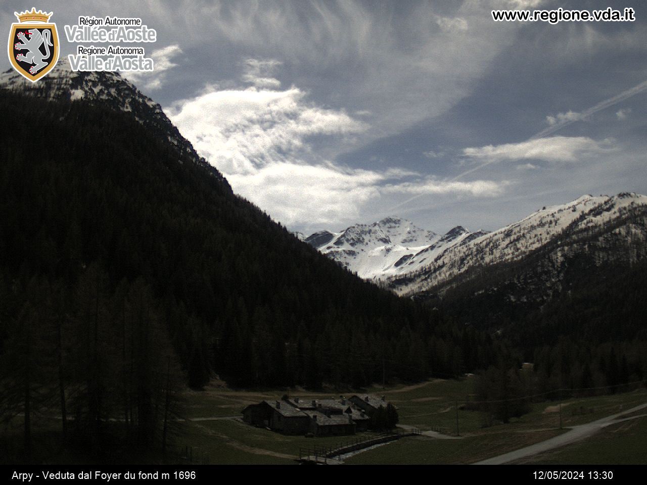
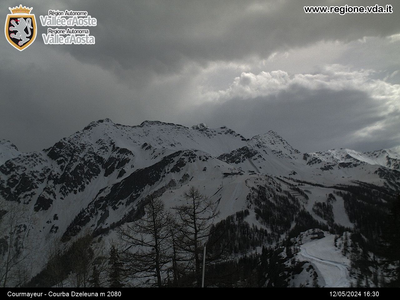
The farm track that leads to Col Croce and Arpy Lake sets off from Col San Carlo (1951 m) that can be found on the road that connects Morgex to La Thuile near Hôtel Genzianella. Continue along the same road, following the directions for the lake. On reaching the lake, the view over the Mont Blanc range is spectacular. Return along the same path as the outwards journey.


