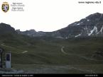
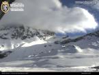
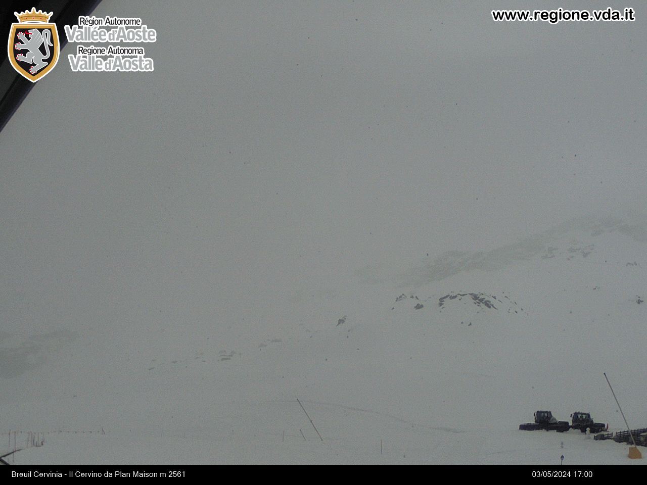
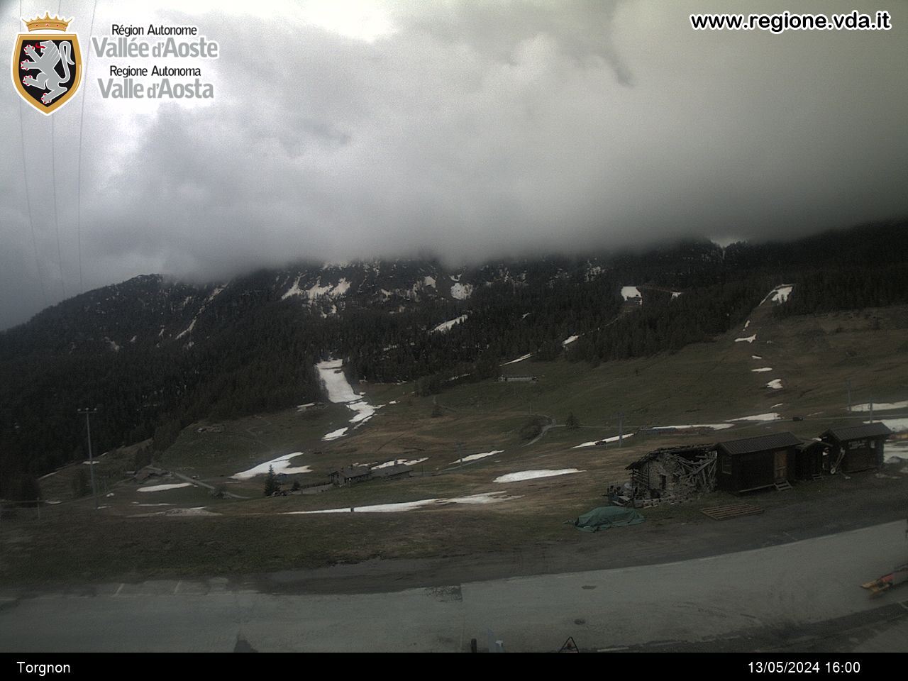
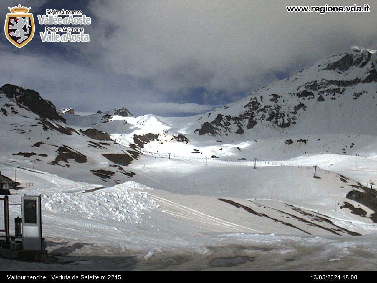
Plain Maison - Col de Saint-Théodule
Valtournenche
-
Difficulties:E - Excursionist
-
Best period:
July - September
-
Departure:Plan Maison (2551 m)
-
Arrival:Col de Saint-Théodule (3316 m)
-
Difference in level:765 m
-
length:5.019 m
-
Ascent:2h25
-
Trail sign:15
-
GPS tracks:
Description of the route
When you get to the Plan Maison arrival station, take the dirt road signposted 15 which crosses the alpine meadows, over the winter ski slopes and goes up to Bontadini Chapel. Continue along this trail, over moraine terrain and spots of snow, until you come to the Teodulo refuge on the hill of the same name.


