Via ferrata Jòsé Angster
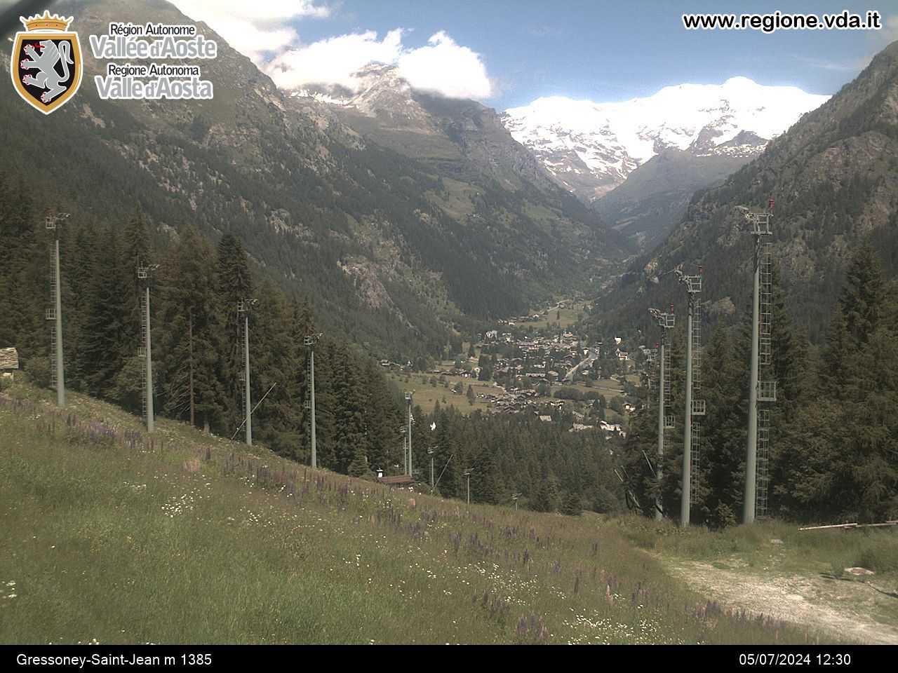
Gressoney-Saint-Jean
-
Difficulties:Difficult
-
Best period:
May - September
-
Esposizione:East
-
Departure:Gressoney-Saint-Jean (1355 m)
-
Arrival:Pulpit over Gover lake (1750 m)
-
Difference in level:400 m
-
Ascent:1h10
How to get there
Tollbooth of Pont-Saint-Martin. Follow the directions for Gressoney. Once you’ve reached the town of Gressoney-Saint-Jean you can park your car in the large parking area right in front of the church and cemetary that you see when you come into town.
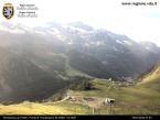
The itinerary is very beautiful both for the environment and for the cleverness of the trail. You climb a slightly aerial part on the rocky spur that overlooks the valley and the splendid lake below. The footholds are never expected and placed according to the logic of the mountain climbers. There are all the requirements to spend a beautiful day characterized by high level techniques!
Description of the route
From the parking area cross the street and enter the town center. Cross the town until you reach an open space to the left. In the middle of this open space is Gover lake. Remain on the right bank until you find a sign close to the private road that points towards the morainic rock that goes down from the overlooking spur. Follow that road that goes along the horse fence reaching a mule track that goes up to the left lined by a wooden fence. Follow it until you reach a trail that climbs up into the woods, (wooden sign that indicates the ferrata). The steep path climbs up into the vegetation (trailmarker 4a red or yellow and yellow stickers) until you reach another path (trailmarker 15) close to a huge stone. Continue towards the right on sloping plains until you reach the huge morainic rock. On the path, to the left, there is a sign that indicates the Jòsé Angster ferrata. The massive granite rocks climb up to the left, from the sign, and points towards a small chalet. There are a few yellow stickers or markers but you don’t necessarily have to take that path. From the chalet go the right for 7-8 meters where you will reach a path towards the right that crosses the fastenings of the Jòsé Angster ferrata. You climb up a series of nailed plates with “U” shaped hand and foot holds. The distance between the fastenings requires great skill or resistence. After the first sequence you see the ledge at mid-wall and the wires of the ferrata dei Bambini that climb towards left. You continue vertically entering a slight dihedral close to a few ledges to the left and you pass the steep exiting wall with a small cross over to the left. You reach a small niche with a statue of the Madonna underneath a transparent triangle. There is a trestle bridge hung in midair for those who wish to stop for a few minutes. You continue on the spur with a few areas of soil and you reach the last plaque that juts out from the grassy peak a few meters away from the Italian flag. From the top you continue by passing the characteristic cottage in the back crossing a trail that leads into the woods. You pass the exit of a canal and continue downhill on slightly disconnected marked tracks. Continue following a few bends until you cross a track to the left that at first is sloping and then is all downhill and crosses the wires under the spur. It is the ferrata dei Bambini. It is possible to carefully go down the ferrata or continue along the path to the right. Both lead to the foot of the wall.
To safely cross the ferrata we recommend that you be accompanied by a mountain guide.


