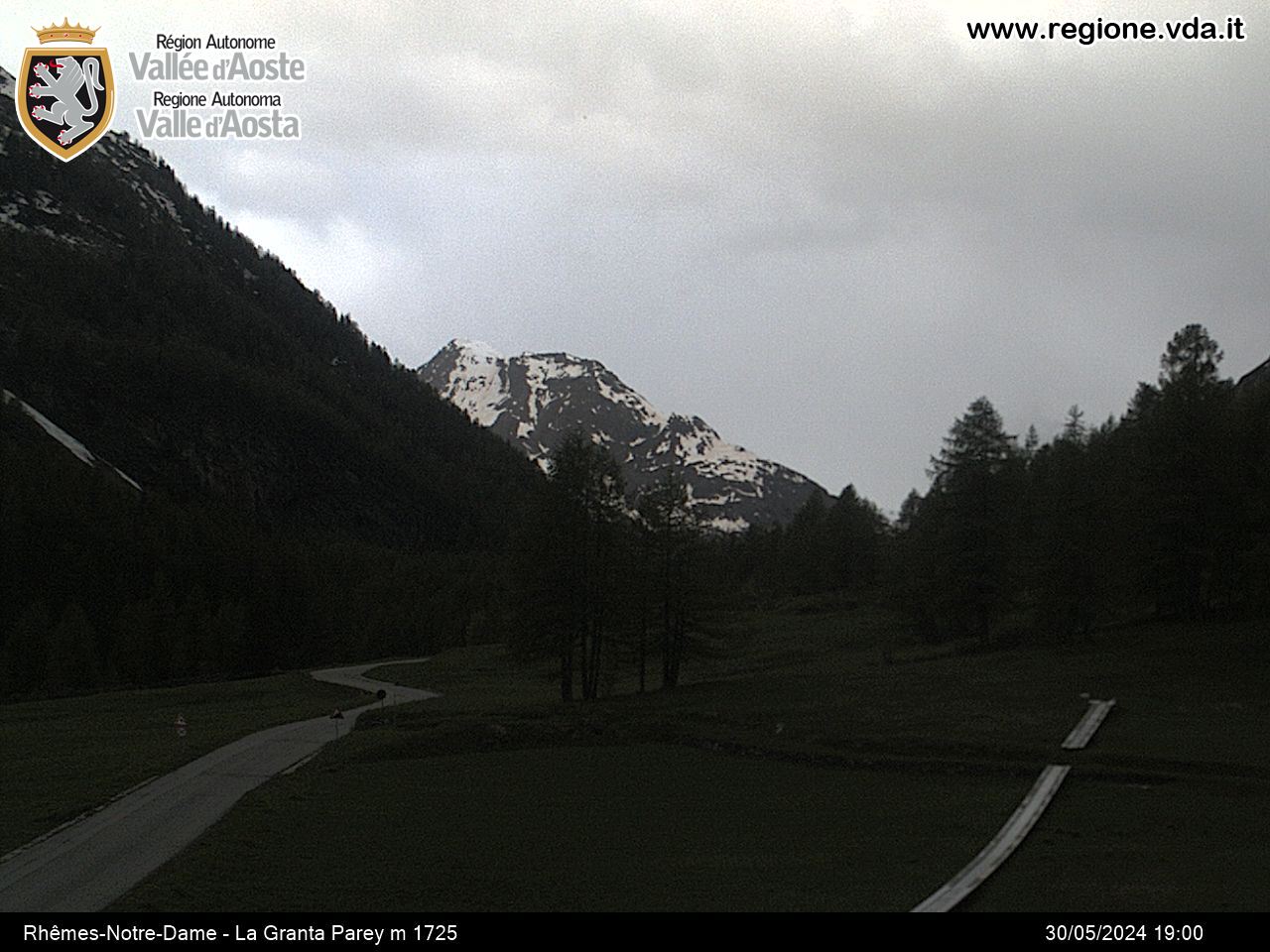
Bruil - Col d'Entrelor
Рем-Нотр-Дам
-
Уровень трудности:E - Randonnée
-
Лучший период:
Июль - Сентябрь
-
Пункт отправления:Bruil (1738 m)
-
Пункт пребытия::Col d’Entrelor (3015 m)
-
Расписания:1.376 m
-
длина:5.397 m
-
Durata Andata:4h10
-
Segnavia:10 - AV2
-
Tracciati GPS:
Типичные блюда
Cross the bridge over the Dora di Rhemes, in Bruil, municipal seat of Rhême-Notre-Dame, then take High Route 2 (AV2). You soon come to the Pré-du-bois pasture (1789 m). Go up and walk alongside the brook for a brief stretch until you come to a wooden cross near Entrelor pasture (2140 m). Continue amid the wide meadows until you reach the Plan-de-Feye (2393 m). Go up a small rock wall and cross a debris channel until you come to Entrelor (3002 m).


