Cyclotour: Morgex – Col San Carlo – La Thuile
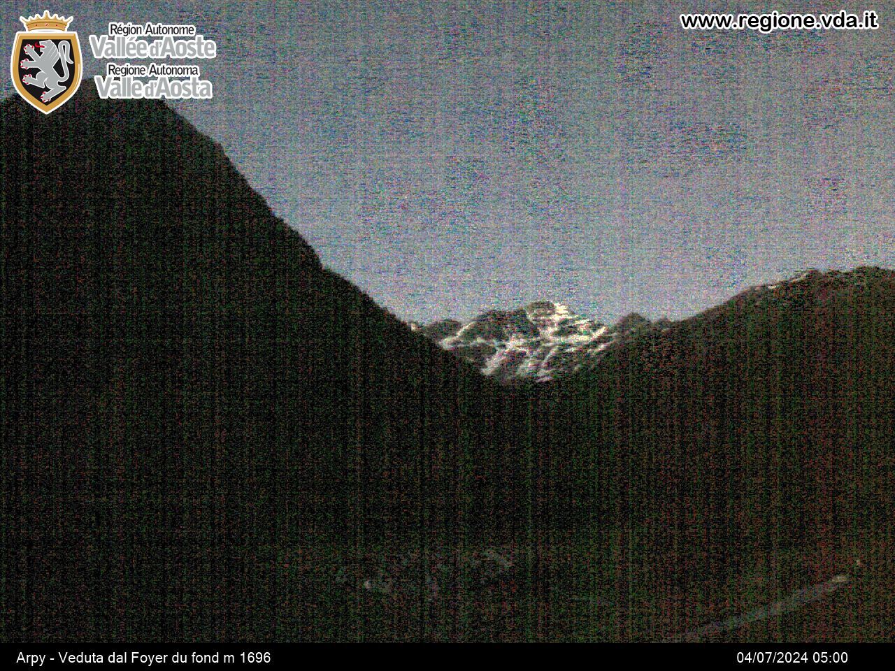
Starting from Morgex, an old mediaeval village lying in a vast area of flat land, surrounded by a beautiful circle of mountains, you can make your way to Col San Carlo. You follow a road that leads to Arpy, passing through magnificent woods, and on to Col San Carlo before reaching La Thuile with its beautiful panoramic setting. La Thuile is situated along the road, that crosses the Little St Bernard Pass leading to France.
Places you go through on the route:
- Morgex (920 m)
- Arpy 8.5 km (1,680 m)
- Col San Carlo 11.6 km (1,950 m)
- Les Granges 15.3 km (1,610 m)
- La Thuile 18.9 km (1,435 m)
Route included in a stage of the Giro d’Italia in 2006 (Alessandria/La Thuile). Stage won by Piepoli (ITA).


