Lavachey - Rifugio Bonatti - Col Entre-Deux-Sauts
Courmayeur
-
Difficulties:E - Excursionist
-
Best period:
July - September
-
Departure:La Vachey (1695 m)
-
Arrival:Col Entre-deux-Sauts (2521 m)
-
Difference in level:806 m
-
length:4.772 m
-
Ascent:2h30
-
Trail sign:42
-
GPS tracks:
Description of the route
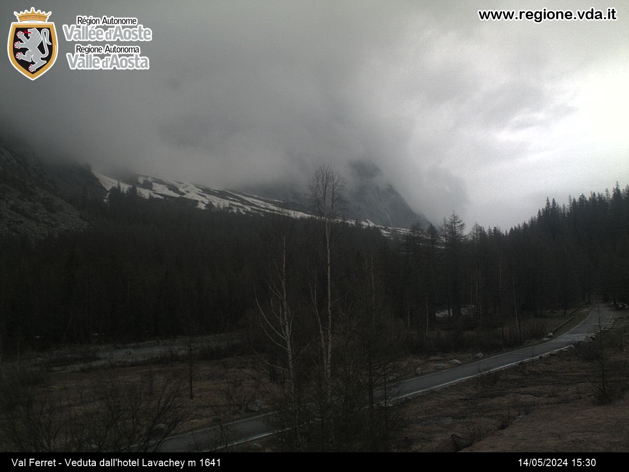
From Courmayeur, continue along the paved road and go into Val Ferret. When you get to Lavachey, continue for a further 1 km and, just before crossing the Malatrà, you come to the start of route 42, which goes off to the right of the paved road. The itinerary goes up to the Bonatti refuge and the pastures of Malatrà Inferiore and Superiore. Just before the pasture of Malatrà Superiore, ignore the left-hand branch that goes up to Col Malatrà, and continue on the right, still on route 42, which stays on the left orographic bank of the stream and crosses the wide flat basin, before veering right and going up to Pas Entre-deux-Sauts (2520 m).
Turn right after crossing the ridge, to get to the summit.


