Lac de Chamolé - Arbolle mountain hut

Gressan, Pila

  • Difficulties:
    E - Excursionist
  • Best period:
    June - September
  • Departure:
    Lac de Chamolé (2329 m)
  • Arrival:
    Arbolle Refuge (2507 m)
  • Difference in level:
    480 m
  • length:
    2.043 m
  • Ascent:
    1h30
  • Trail sign:
    14 - 102
  • GPS tracks:
    GPX , KML

The destination of the excursion is the Arbolle refuge in the Comboé valley. The view along the route is splendid.


Description of the route

From Pila, in the municipality of Gressan, take the Chamolé chair-lift (open in the summer only) or take one of the trails to the Chamolé lake starting from Pila (1.30hrs).
When you arrive, take route 19C on the left, which soon takes you to the banks of Lac Chamolé. Here, when you get to a crossroad, take path102, which goes up, quite steep, to Col Chamolé. Go down the opposite side, cross the Comboé stream and go up to the Arbolle refuge, near the lake.

Meteo
Meteo

Details
Aosta
°C
°C
Tourist Areas
Tourist Areas

Mont Blanc

Gran Paradiso

Great Saint Bernard

Aosta and surroundings

Matterhorn

Monte Rosa

Central Valley

Tourist offer
Tourist offer
Webcam
Webcam
Aosta - Piazza Chanoux

Webcams map       Resort
Aosta - Arco d'Augusto

Webcams map       Resort
Fenis - Castello

Webcams map       Resort
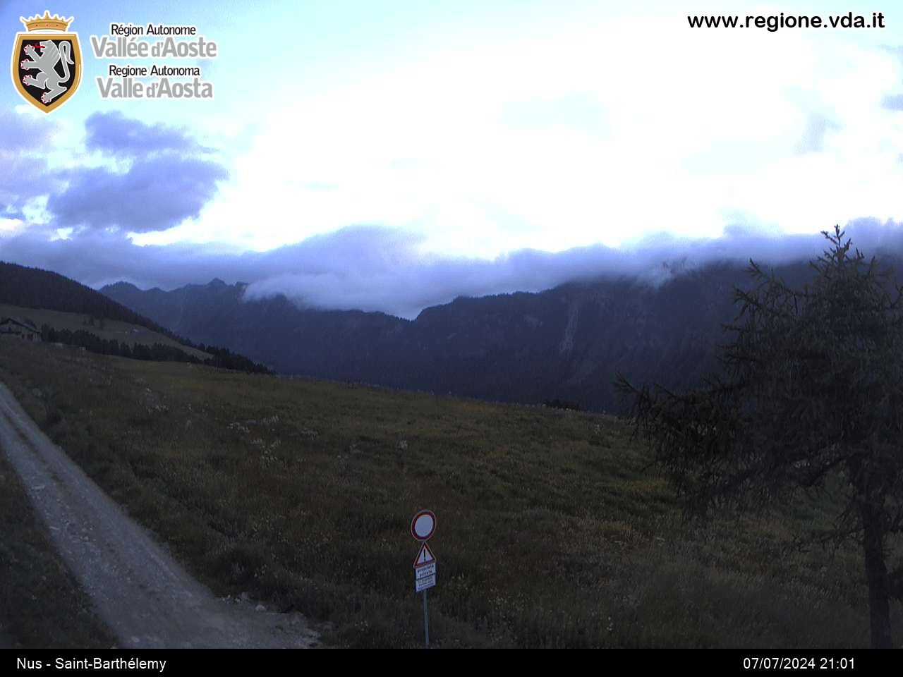
Nus - St. Barthélemy

Webcams map       Resort
Pila

Webcams map       Resort