from Perrères to Promoron
Valtournenche
-
Difficulties:E - Excursionist
-
Best period:
June - September
-
Departure:VALTOURNENCHE: Perrères (1844 m)
-
Arrival:Promoron (1825 m)
-
Difference in level:216 m
-
length:6.261 m
-
Ascent:2h00
-
Trail sign:8 - AV1
-
GPS tracks:
Description of the route
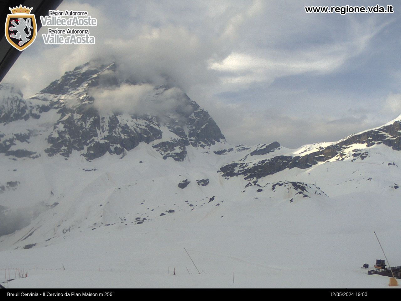
When you get to the hamlet of Perrères (within the municipality of Valtournenche, 4 km before getting to Breuil-Cervinia), leave the car in the car park and take the private road (trail sign 8) which crosses the Marmore stream. Keeping going until you go past Rayes de Proz and Liortère. From here, after about one and a half kilometres, leave the road and take trail 8 which goes off to the right, until you get to a crossroad at Mount Promoron. Leave the branch of the trail that goes up and take the high trail 1 on the left, which goes down to Promoron.
The itinerary is 5km long.


