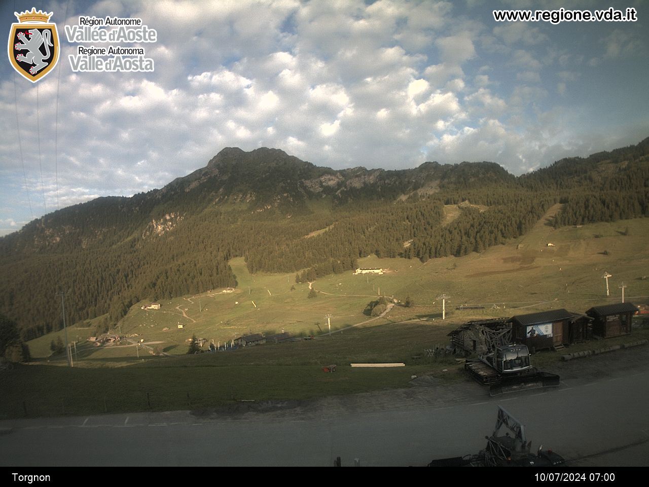
Perrères - Perucca Vuillermoz Refuge
Valtournenche
-
Difficulties:EE - Expert Excursionists
-
Best period:
July - September
-
Departure:Perrères (1863 m)
-
Arrival:Perucca Vuillermoz mountain hut (2909 m)
-
Difference in level:1.185 m
-
length:7.852 m
-
Ascent:3h55
-
Trail sign:107 - 35
-
GPS tracks:
Description of the route
When you get to the hamlet of Perrères (within the municipality of Valtournenche, 4 km before getting to Breuil-Cervinia), leave the car in the car park and take path No. 35 / 107 which rises in long diagonal slopes, and goes through Grillon, Tsa de Grillon and lastly Colle Finestra di Cignana. Now descend until you come to the dirt road that comes from the Cignana dam. Follow this for around 250 m, and then, near Alpe Cignana, take trail 35, which goes off to the right and rises, amidst some wonderful, breathtaking landscapes, to the Manenti Bivouac on the banks of Lake Balanselmo. Continue along the trail to the Perucca-Vuillermoz refuge on the banks of Mont Dragon Lake.


