"Bosco del Miage" picnic area - Courmayeur
Курмайор
- Вся Валле д’Аоста: 1540
- Km da Aosta: 44,00
- Tavoli con panche: 73
- di cui per disabili: 1
- Карта: 22
- Fontanili: 5
- Servizi igienici: 4
- di cui per disabili: 1
- Контакты : 510
- Tot. superficie (m²): 50000
Free
VEGETATION
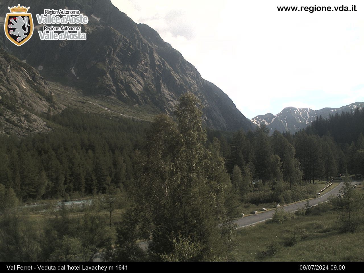
Sparse and irregular, mature woodland dominated by Larch, Red Spruce and broad-leaved trees. Undergrowth composed of Juniper, Elderberry, Goat Willow and Dog Rose.
HOW TO GET THERE
You can arrive by taking the Val Veny regional road on the left of the valley.
AREA PANORAMA
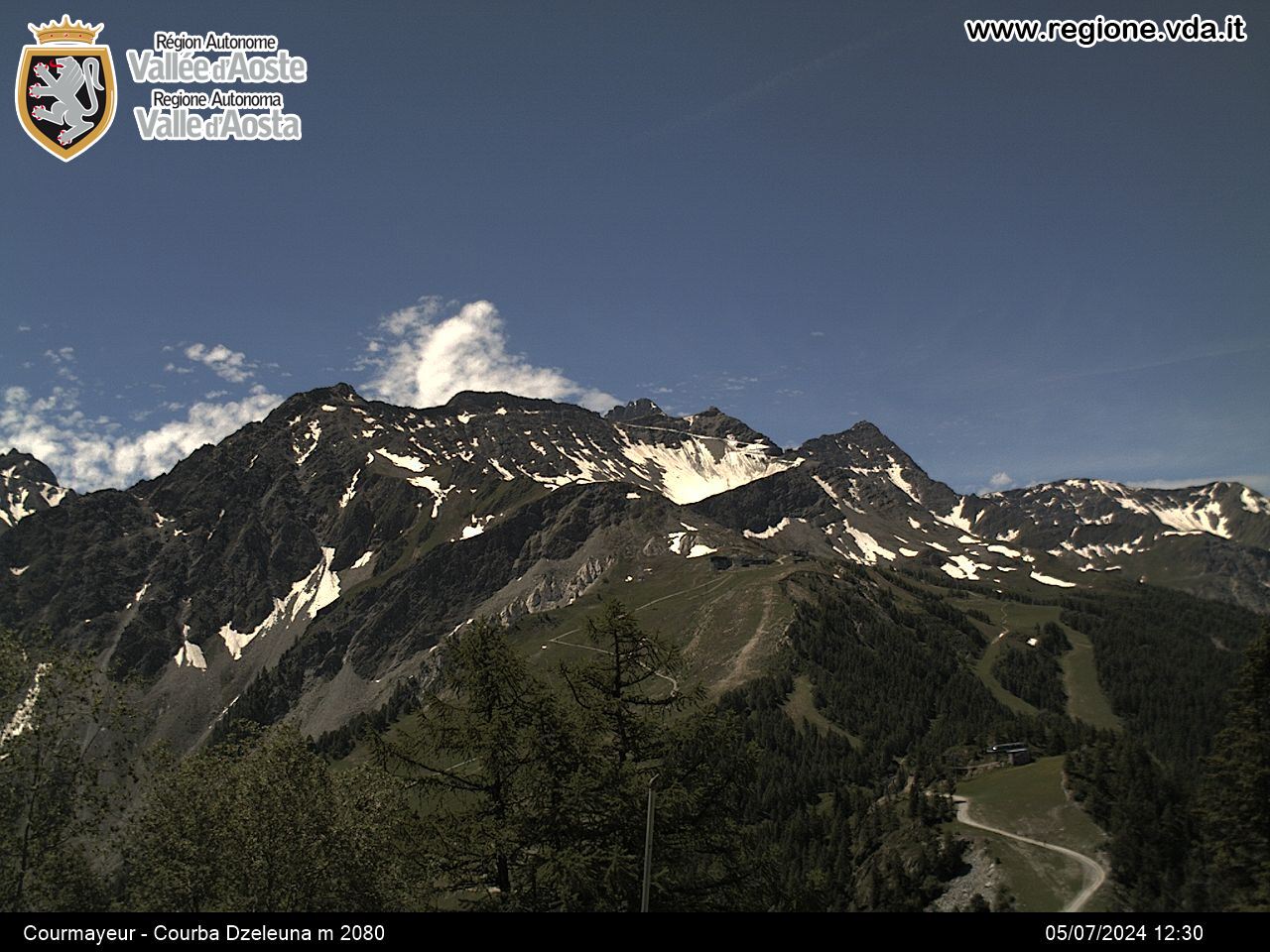
From the area you can admire Mount Blanc to the East, to the North Les Grandes Jorasses, Aiguille Noire, Dames Anglaises and Dente del Gigante, to the West the Miage and Brouillard glaciers, while Tête de Chécrouit, Punta Youla and Mont Chétif are located to the South.
EXCURSIONS
• Arrive to the Combal district and follow the path leading to Mount Fortin and Col des Chavannes; or go in the direction of Combal Lake to reach Le Baite in the lower Arp Alps and then reach Mount Favre.
• From the Elisabetta refuge you can climb to Col de la Seigne, by following the Tour of Mount Blanc track.
Населенный пункт
-
Telefono:(+39) 0165.842060
-
E-mail:


