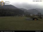
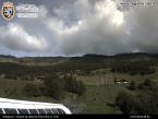
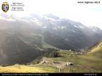
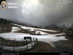
Picnic area "Plan Villy" - Ayas
Шамполюк /Айас /Антаньо
- Вся Валле д’Аоста: 1576
- Km da Aosta: 65,00
- Tavoli con panche: 20
- di cui per disabili: 2
- Карта: 6
- Fontanili: 2
- Servizi igienici: 7
- di cui per disabili: 1
- Контакты : 120
- Tot. superficie (m²): 20000
5,00 € per table;
5,00 € a box of wood (if necessary)
VEGETATION
Thriving woodland, almost all Red Spruce with sporadic Larch specimens. Undergrowth composed of Juniper, Heather, Berberis and Blueberry.
LOCATION
It can be reached by taking the regional road in Valle d’Ayas, after passing the town of Champoluc.
AREA PANORAMA
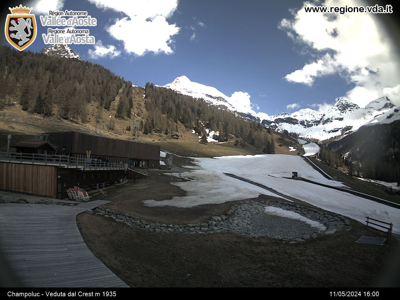
The area, located at the end of the valley, provides views to the South-East of Becca Piure, to the South Mount Zerbion, to the North Rocca di Verra, Breithorn and Rocce Nere.
EXCURSIONS
• Using the cableways you can arrive to Crest from where you can admire Mount Testa Grigia and reach the village of Cunéaz, a typical mountain settlement, as well as Lakes Pinter and Perrin.
• By crossing the River Evançon near the Frachey district you can arrive to Tournalin valley and Colle di Nana.
• The town of Saint-Jacques is the departure point for ascents to the Mount Rosa range via Verra Valley; it is also possible, departing from the same town, to reach Colle delle Cime Bianche.
Населенный пункт
-
Telefono:(+39) 338.1047478


