Activity path Courmayeur
Типичные блюда
Altitude 1540 m o.s.l.
Distance from Aosta 43 km
Owner public
Lenghth of route 900 m.
*Number of stops*14
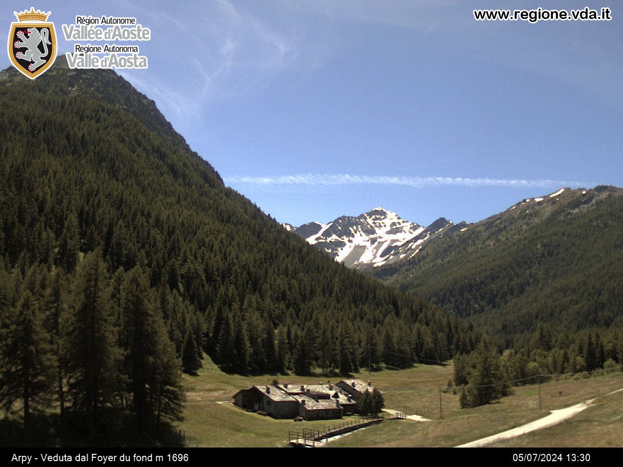
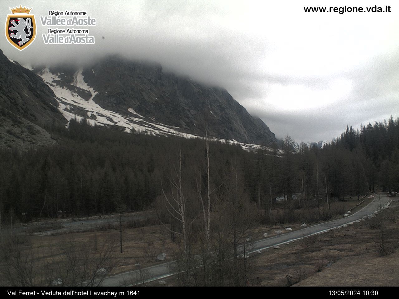
Vegetation thin, irregular and mature woodland largely dominated by Larch, with some Fir and Hardwood. Undergrowth: Juniper, Barberry, Elder, Goat willow and Dog-rose.
Location about half way along Val Veny, on the orographic right side of the valley.


