At the gate of the Park: Valnontey
Cogne
-
Уровень трудности:E - Randonnée
-
Лучший период:
Декабрь - Март
-
Пункт отправления:Cogne (1.534 m).
-
Пункт пребытия::Valnontey (1.667 m).
-
Расписания:122 m
-
Segnavia:3 and 5
-
Tracciati GPS:
This route joins Cogne with the hamlet of Valnontey.
Типичные блюда
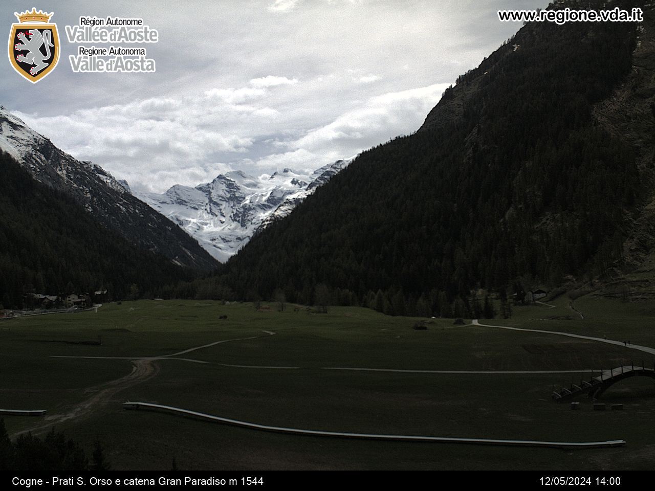
The stretch starts out at Son-le-Prò, goes on the left of the municipal road leading to Valnontey. After ups and downs in the wood, it crosses some wooden bridge, runs along the cross-country trail and comes to Valnontey, right in the heart of the National Park.
You will find a map outlininng the snowshoe routes in the area at the Cogne Tourist Office.
Населенный пункт
Ufficio del Turismo di Cogne
Rue Bourgeois, 34
11012 COGNE (AO)
-
Telefono:(+39) 0165.74040
-
E-mail:


