Challancin - Morge
La Salle
-
Уровень трудности:E - Randonnée
-
Лучший период:
Июнь - Октябрь
-
Пункт отправления:Challancin (1607 m)
-
Пункт пребытия::Morge (1658 m)
-
Расписания:57 m
-
длина:1476 m
-
Durata Andata:0h24
-
Segnavia:2B-103
-
Tracciati GPS:
Типичные блюда
The itinerary starts from the chapel of Challancin where, following the asphalt road until the curve, continues on flat along the old muletrack. You go across meadows and get into the wood following a stream and out of the wood walk a piece of dirt road which gets to Morge gently in descent, crossing some meadows. It’s possible to admire the wood-carvings along the path made from the local artist Eliseo Lumignon.
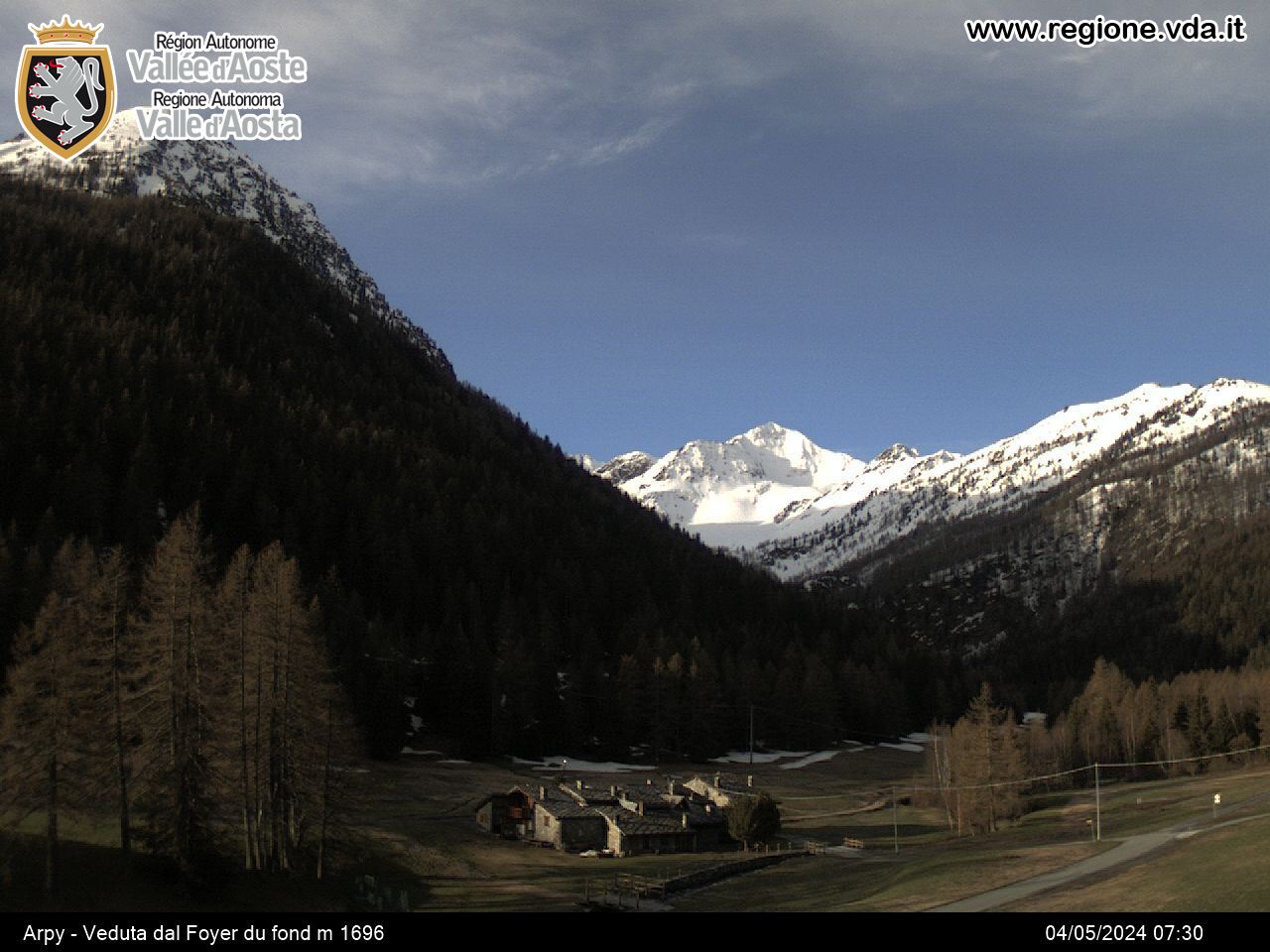
The view is magnificient, because it offers a panorama over Valdigne and Mont Blanc.


