Gran Paradiso
Вальсаваранш
-
Уровень трудности:F - Facile
-
Лучший период:
Июнь - Сентябрь
-
Esposizione:Запад
-
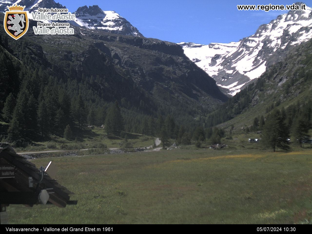
Пункт отправления:Pont (1960 m)
-
Пункт пребытия::Gran Paradiso (4061 m)
-
Расписания:775 m. + 1330 m.
-
Durata Andata:5h45
Accesso
Aosta West motorway toll booth, then continue along the SS 26 towards Courmayeur. At Villeneuve, head towards Valsavarenche and carry on up to the end of the road (Pont).
The Gran Paradiso is the highest peak completely located on Italian soil and stands at the heart of the national park of the same name. There are two standard itineraries for reaching the summit, both located in Valsavarenche: one comes through the Chabod Refuge and the other through the Vittorio Emanuele II Refuge. The second option will be described here, as it too was chosen for the very first climb made in 1860.
Типичные блюда
Day one
From Pont, take the flat mule track that crosses the river with a wooden bridge. Carry along the flat for about a hundred metres, then start to climb upwards winding initially through a forest, then in the open air. After an initial steep stretch, the slope becomes more gentle and the bends wider, until you come to the Vittorio Emanuele II Refuge (2732 m).
Day two
From the Refuge, take the path that heads to the left across stony ground. The path will quickly turn into a trail that leads onto the rocky plateau closed in by the last offshoots of the Becca di Moncorvé ridge and the crag that includes the Testa di Moncorvé. The Gran Paradiso glacier starts at the end of the plain. Once you have put on your crampons, climb up the terracing until you come to the Schiena d’Asino snowy hump, divider between the Moncorvé and the Laveciau glaciers. Following the hump south-eastwards, carry on until you come to the flat area of the Becca di Moncorvé Pass. From here, head to the left to climb the standard frozen slope that ends under the terminal crevasses; once past the obstacle, you will reach the easy rocks on the south-eastern ridge. There is one last passage, easy but exposed (fix protection), that provides access to the terrace where the statue of the Madonna stands.
Descent: down the upward itinerary.
This itinerary requires experience of high mountains and it is recommended that you get a mountain guide to accompany you.


