Pont - Plan Borgnoz
Вальсаваранш
-
Уровень трудности:E - Randonnée
-
Лучший период:
Июль - Август
-
Пункт отправления:Pont (1963 m)
-
Пункт пребытия::Plan Borgnoz (2670 m)
-
Расписания:705 m
-
длина:4.377 m
-
Durata Andata:2h20
-
Segnavia:3A - 6A - 3
-
Tracciati GPS:
Типичные блюда
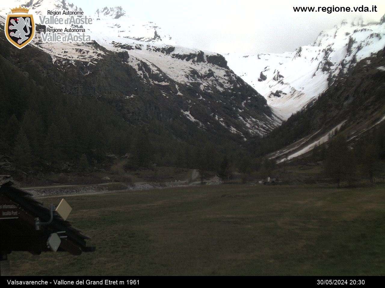
When you get to Pont, the highest hamlet in Valsavarenche, near the restaurant take the trail that climbs steeply up through larch woods and rocky crags, until you reach the wonderful panoramic point, on which stands Croce Roley (2314 m). Continue from here and, after a short while, take trail 3A on the right, after crossing the stream, then go up over green meadows, then, after the dirt road, over large rocks covered in lichen. When you get to the crossroad, take the left trail, and after a few hundred metres, turn right and head for the park guard’s lodge, and then the Alpe Plan Borgno, at the start of the plateau of the same name.


