Duca degli Abruzzi and Croce Carrel Refuge
Вальтурнанш
-
Уровень трудности:EE - Randonneurs chevronnés
-
Лучший период:
Июль - Сентябрь
-
Пункт отправления:Plan Maison (2551 m)
-
Пункт пребытия::Croce Carrel (2950 m)
-
Расписания:395 m
-
длина:4.415 m
-
Durata Andata:1h40
-
Segnavia:13 - ex AV3
-
Tracciati GPS:
Типичные блюда
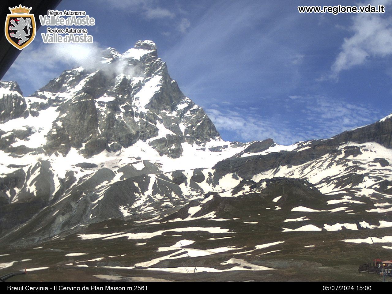
When you get to the Plan Maison arrival station, continue on the dirt road no. 15 until you get to a crossroad. Take the left branch, formerly trail AV3, first along the road and then a path, among high-altitude meadows. Go over several humps and an area littered with large rocks and numerous springs. The hike continues upwards towards the glacial moraines of the southern side of the Matterhorn, until you reach a pretty deep blue lake a short distance from the refuge. Now take the path, the usual ascent passage of Matterhorn, which goes up towards the west, above the refuge and then goes over a rocky spur. Continue northwards until you get to Croce Carrel, in memory of the glorious Valdostan guide.
Hiking itinerary to the refuge (outward journey: approx. 1 hour, 45 min)
Itinerary for expert hikers from the refuge to Croce Carrel


