Issime - Gaby
Issime
-
Уровень трудности:E - Randonnée
-
Лучший период:
Июнь - Сентябрь
-
Пункт отправления:Capoluogo (953 m)
-
Пункт пребытия::Gaby - Tzendelaboa (1046 m)
-
Расписания:99 m
-
длина:4.236 m
-
Durata Andata:1h15
-
Segnavia:GSW
-
Tracciati GPS:
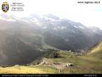
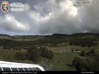
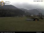
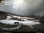
In a rural environment, the route goes through villages with the typical architecture of the Lys Valley.
Типичные блюда
Itinerary on a private road that connects the church of Issime to the charming hamlet of Tzendelaboa in Gaby, in a particularly characteristic rural atmosphere, going past hamlets with the classic architecture of the valley. You can park in the facility area in Rickard and in the play-sports area of Tzendelaboa.


