Cogne - Valnontey
Cogne
-
Уровень трудности:T - Touristique
-
Лучший период:
Май - Октябрь
-
Пункт отправления:Cogne (1535 m)
-
Пункт пребытия::Valnontey (1662 m)
-
Расписания:127 m
-
длина:2963 m
-
Durata Andata:0h53
-
Segnavia:23
-
Tracciati GPS:
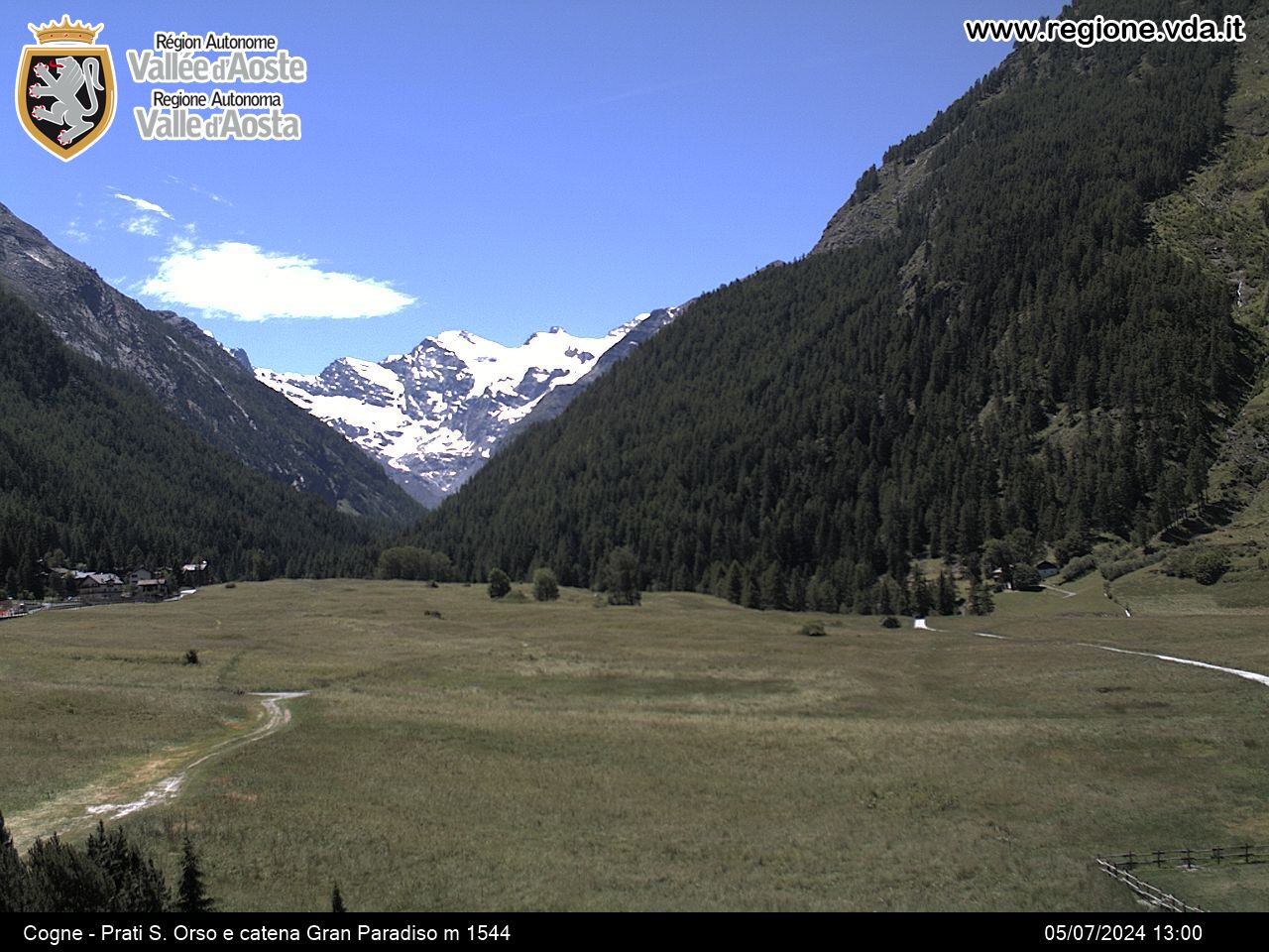
Easy walk in the National Park and visit to the Alpine Botanical Garden « Paradisia » where are cultivated the most rare species of alpine and non-European flora.
The first part until Buthier is suitable with strollers, is accessible to disabled people and by bicycle only at a walking pace.
Типичные блюда
From the centre of Cogne cross meadows of Sant’Orso (awarded « Italian Wonder ») and reach Buthier hamlet near a bar.
From here continue on the left bank of Valnontey stream along the path through woods, meadows and clearings that leads to Valnontey.


