Valnontey - Pian de la Tornetta
Cogne
-
Уровень трудности:E - Randonnée
-
Лучший период:
Июнь - Август
-
Пункт отправления:Valnontey (1667 m)
-
Пункт пребытия::Pian de la Tornetta (2482 m)
-
Расписания:815 m
-
длина:3.524 m
-
Durata Andata:2h40
-
Segnavia:22 - 22A
-
Tracciati GPS:
Типичные блюда
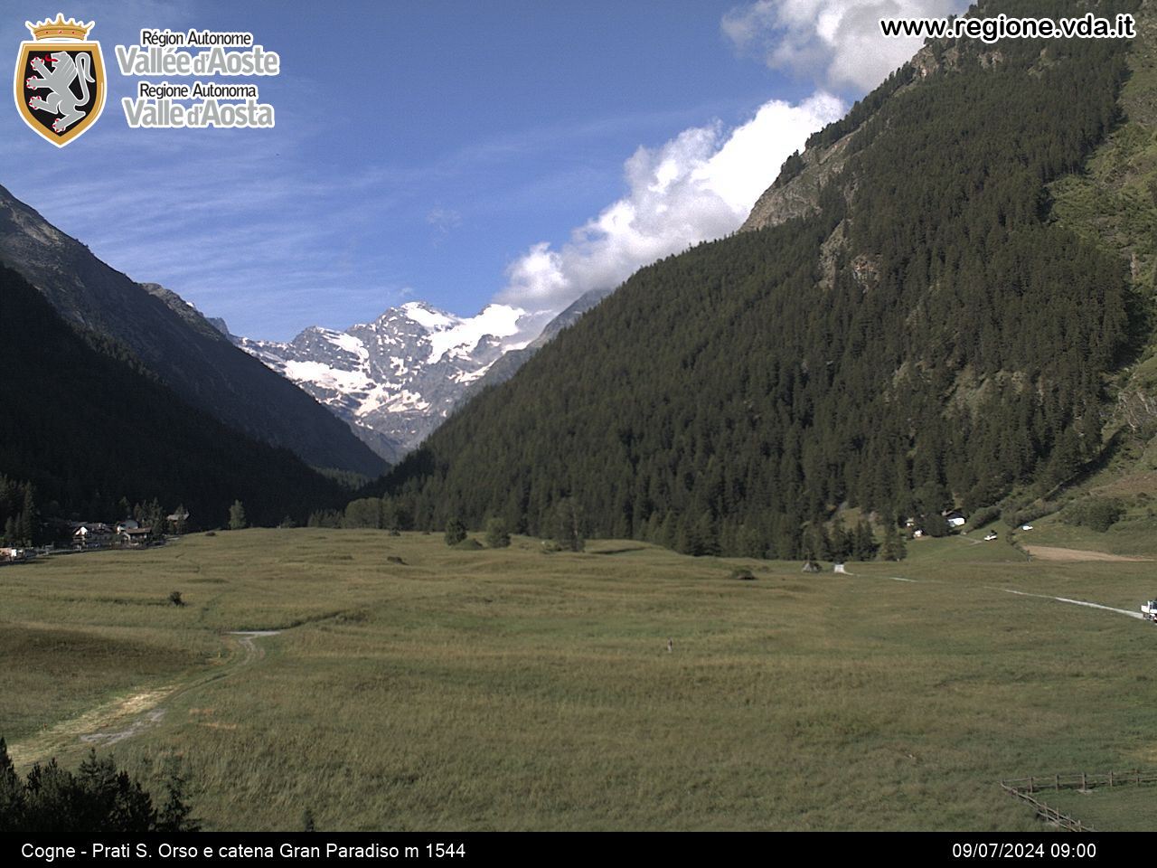
Leave the car in Valnontey, in the municipality of Cogne. Take the private road (route 22), which flanks the Valnontey route until you get to a bridge over the stream for Leuttaz. Do not cross the bridge. Take route 22A on the left of the road, which rises steeply to the Grèndzetta cabin. The last section leads to the plateau where you get a wonderful view over Valnontey and the whole of the Gran Paradiso.


