Peuterey - Frêney
Курмайор
-
Уровень трудности:E - Randonnée
-
Лучший период:
Июнь - Октябрь
-
Пункт отправления:Peuterey, campeggio (1503 m)
-
Пункт пребытия::Freney (1583 m)
-
Расписания:80 m
-
длина:2431 m
-
Durata Andata:0h41
-
Segnavia:7
-
Tracciati GPS:
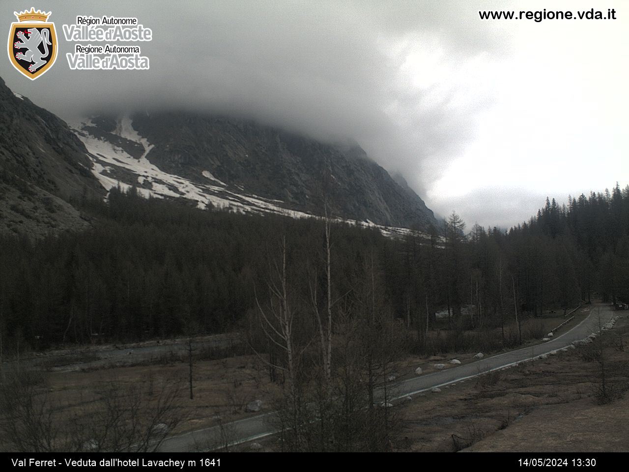
The itinerary offers good views towards the bottom of the valley and impressive peaks rising above, besides of a pleasant coolness.
Типичные блюда
The itinerary starts at Peuterey, in the Vény Valley, where the camping Monte Bianco La Sorgente is located.
Following the dirt road which runs along the river, you get into a wood of firs and go on towards Frêney.


