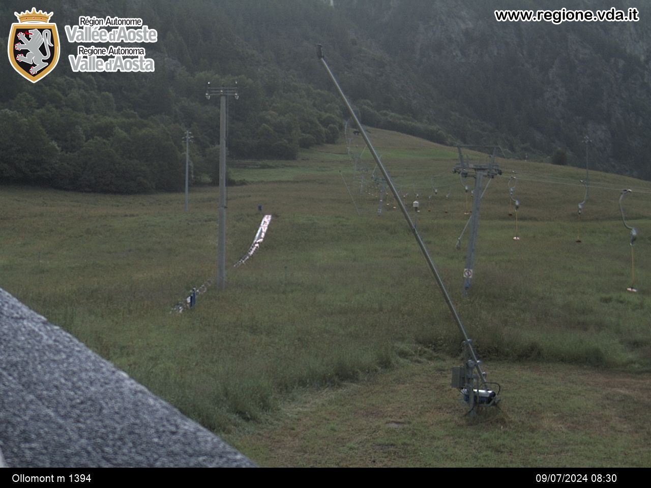
Ollomont - Regondi Bivouac
Ollomont
-
Уровень трудности:E - Randonnée
-
Лучший период:
Июнь - Сентябрь
-
Пункт отправления:Capoluogo (1399 m)
-
Пункт пребытия::Regondi Bivouac (2590 m)
-
Расписания:1.195 m
-
длина:6.176 m
-
Durata Andata:3h40
-
Segnavia:6
-
Tracciati GPS:
Типичные блюда
At Ollomont, take the dirt road that goes up to the pasture of Berrio Superiore. Now, ignoring the right branch that goes to Col Brison, follow the left route no. 6 towards Tsa de Berrio, Col Cormet and Lake La Clusaz. The same route (6) takes you up at this point to the Regondi bivouac.


