Elévaz - Mont-Crammont
Pré-Saint-Didier
-
Уровень трудности:E - Randonnée
-
Лучший период:
Июнь - Октябрь
-
Пункт отправления:Elévaz (1354 m)
-
Пункт пребытия::Mont-Crammont (2736 m)
-
Расписания:1.392 m
-
длина:7.019 m
-
Durata Andata:4h25
-
Segnavia:3 - 6
-
Tracciati GPS:
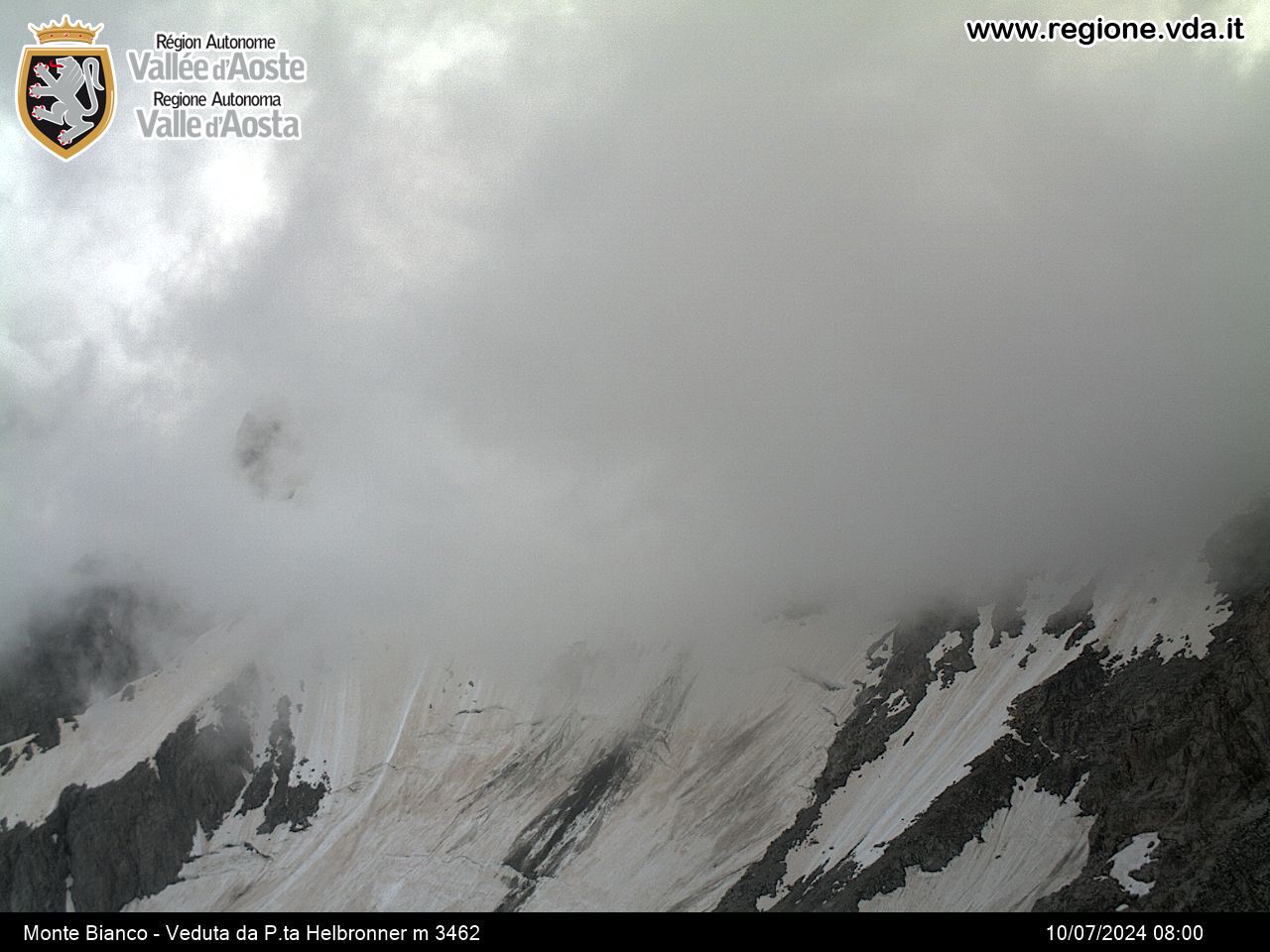
This itinerary combines a spectacular panorama with historical features. Owing to its high central position, compared to Mont Blanc, the summit of Mont-Crammont is used by the Geneva naturalist Horace Bénédict De Saussure as an observation point for his studies on the southern side of the Roof of Europe.
Типичные блюда
From Torrent, in the municipality of Pré-Saint-Didier, which can be reached on the road that branches off to the right from the SS 26 in the direction of La Thuile at the village of Elévaz, take route 3 which runs along level ground and comes out of the village and meets a crossroad. Ignore the right-hand branch, and go up on the left as far as Quiedroz. The itinerary continues, crossing the private road several times, until it comes to Chanton and, just after this, it joins a track on the left, and heads for Mialay. From here, continue along the private road until you come to Alpe Plan Praz and, after a few bends, you come back to path 3, which goes off to the right at a left-hand bend, then goes up to Mont-de-Nona. Now, turn left and go up along the grassy slope until you come to the summit of Mont Crammont.


