Mongnod - Maisonnet - Col Saint-Pantaléon - Saint-Evence
Torgnon
-
Уровень трудности:E - Randonnée
-
Лучший период:
Июнь - Сентябрь
-
Пункт отправления:Mongnod (1540 m)
-
Пункт пребытия::Saint-Evence (1670 m)
-
Расписания:136 m
-
длина:4.816 m
-
Durata Andata:1h25
-
Durata Ritorno:1h15
-
Segnavia:13 - 2
-
Tracciati GPS:
Типичные блюда
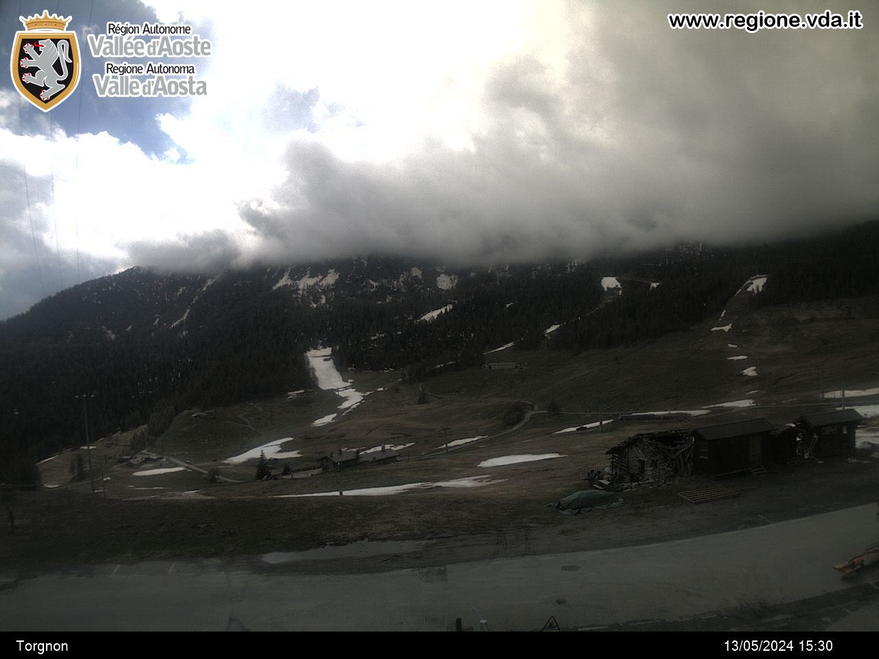
At the last right-hand bend before the municipal seat of Torgnon, take route 13 on the left, which leads to Maisonnet, then Col Saint Pantaléon. At the church, take route 2 on the left which rises gently to the sanctuary of Saint-Evence.
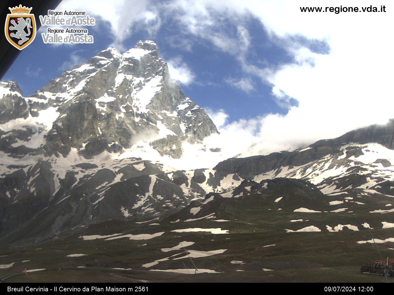
Panoramic itinerary with wide view over the Valtournenche valley.
In order to shorten the route it is also possible to reach the Saint-Pantaléon pass by car and then walk easily the last 2.500 meters in the wood.


