Croce di Fana
Quart
-
Уровень трудности:E - Randonnée
-
Лучший период:
Январь - Февраль
-
Пункт отправления:Fonteil - Quart (1437 m)
-
Пункт пребытия::Croce di Fana (2212 m)
-
Расписания:775 mt.
-
Durata Andata:2h45
-
Durata Ritorno:1h30
Accesso
Aosta Est highway exit. Take the state road towards Turin. At the roundabout, follow the signs for Villair di Quart. Continue on the hill road to Trois Villes. Continue for about one kilometer until the hamlet of Fonteil where the road ends.
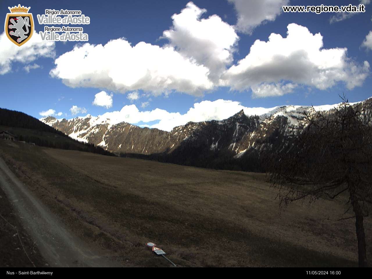
Although Croce di Fana is a lesser point compared to the more impressive ramparts that surround the Aosta basin, it should not be considered less interesting: wild environment, enchanting scenery and, above all, the great feeling of wilderness that invades the excursionist during the climb.
Типичные блюда
Leave your car and head towards the town of Fonteil following the road through the houses. You’ll find a signpost after the village: take the path on the left that avoids part of the farm road. Returning to the slope, climb to your right crossing the fir woods to start the initial part of the Comba Dèche. The climb here is rather bland quickly taking you to some houses in front of Becca d’Aveille. After the houses, continue along the snow-covered slope until you find a solitary pasture at a bend: this is alp Cré. Ignore the straight slope and turn left on the steeper climb whose bends take you in view of Brunier: the path does not lead to the houses since it turns left into the woods. Ignore the fork on the right to finally reach Flemagne. A beautiful view of the central valley mountains opens up after the buildings. Re-enter the woods as the slope turns slowly right until it reaches a field where it seems to end: from here, take the slope that enters the woods on the right. From here on the path is not well-marked especially if not beaten. Continue to a small clearing at about altitude 1900m where you must follow a small moraine in the woods. Gaining altitude, leave the ridge and turn slowly towards the left to a panoramic point with a great view of Mont Emilius. After this brief clearing, return through the woods following the path to the right. At the end of the path, turn left and climb through the thick fir woods. The woods slowly start to thin out and, heading towards the peak, the slope levels out near a delightful clearing: you’re near the end. It’s now just a short climb to Croce di Fana (2212 m).
The view of the Aosta basin as well as the aerial view of the region’s capital are magnificent from the top.


