Grand tour of the Cime Bianche upper hill
Брой-Червинья
-
Уровень трудности:Difficile
-
Лучший период:
Июнь - Октябрь
-
Пункт отправления:Breuil-Cervinia (2000 m)
-
Пункт пребытия::Breuil-Cervinia (2000 m)
-
Расписания:980 m
-
длина:18 Km
-
Tracciati GPS:
It is a challenging route, which winds through the Breuil basin and at high altitude.
Типичные блюда
Technical difficulty: difficult
Physical difficulty: difficult
Bike-friendly: 90%
Type of route: mixed asphalt, dirt, path
Follow the A5 Torino-Aosta motorway taking the “Châtillon-Saint Vincent” exit and continue along the Regional Road 46 until reaching the neighbourhood of Breuil-Cervinia (2000 metres).
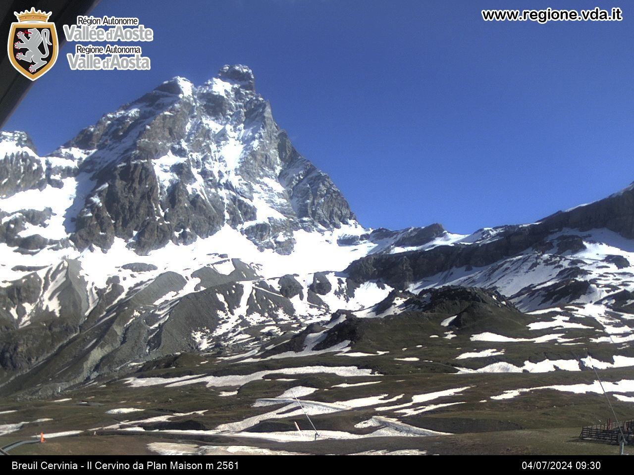
From the square of the Breuil cable car facilities, go uphill along the dirt road located on the orographic right side of the valley and a sequence of ascents that are steep but never impossible brings you close to the artificial lake of Goillet before arriving at the station of the facilities called Cime Bianche Laghi, 2831 metres above sea level (alternatively, you can use the facilities for ascending in Breuil).
From Cime Bianche Laghi, continue along the dirt road which leads upwards towards the Cime Bianche hill. On reaching 200 metres altitude above the cable car arrival station, you can look out over the valley to admire the Rollin basin and the Gran Lago. After having descended towards the Cime Bianche lower pass, you rise again for around 500 metres (almost completely bike-friendly) along the Du Col cable car line. On reaching the summit, the long descent to the mountain station of the Salette Du Col cable car begins. After taking path 107, continue (an uphill stretch where you need to carry your bike) towards the higher Manda to then descend again towards the former bobsleigh slope in Cervinia.


