Mountain Connection Skyrace Valtournenche
First edition for this event which will be part of the national FISKY circuit as a skyrace competition. Distance: 31.5 km - Difference in altitude: 2000m D + / 2000m D-.
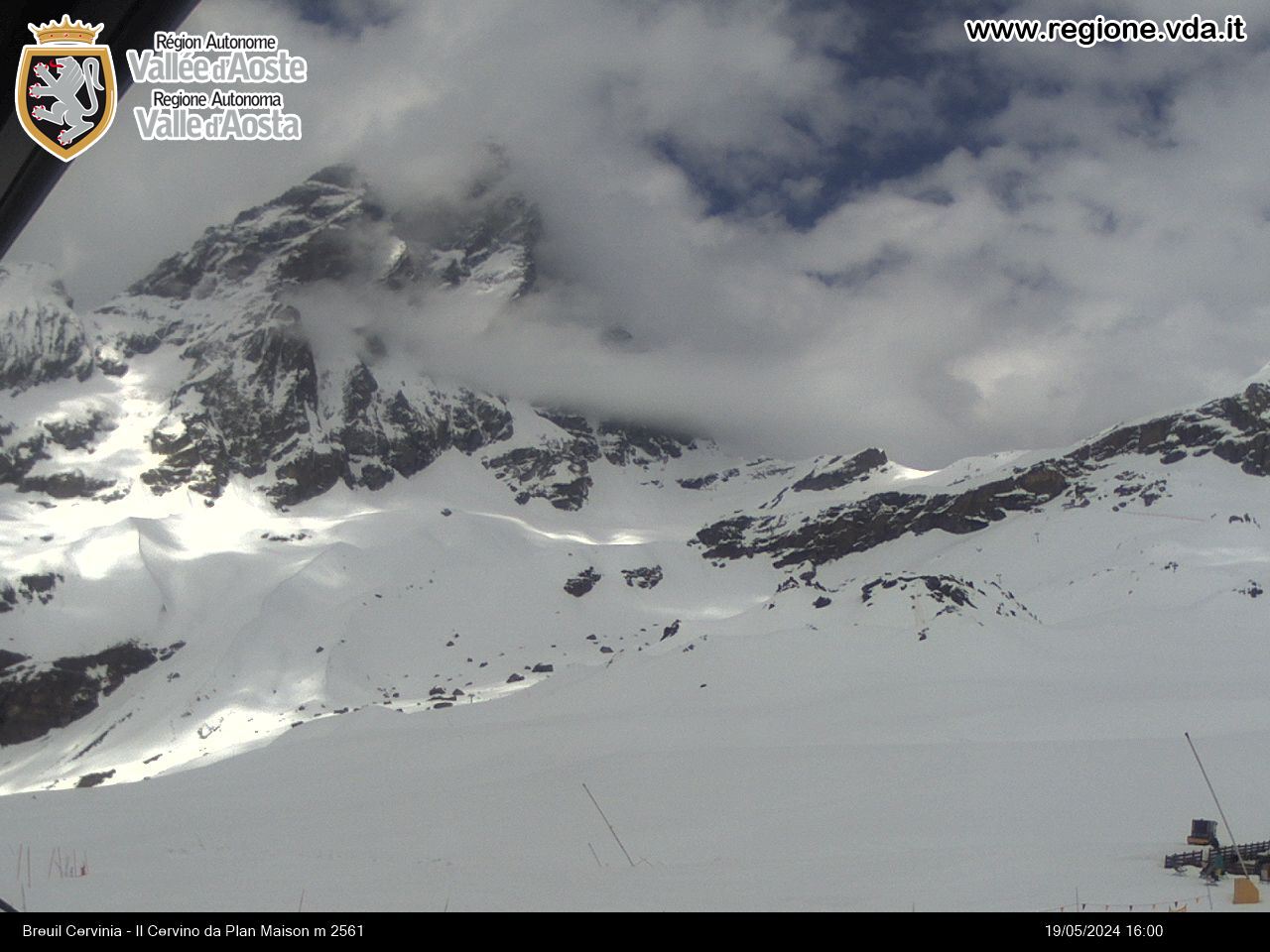
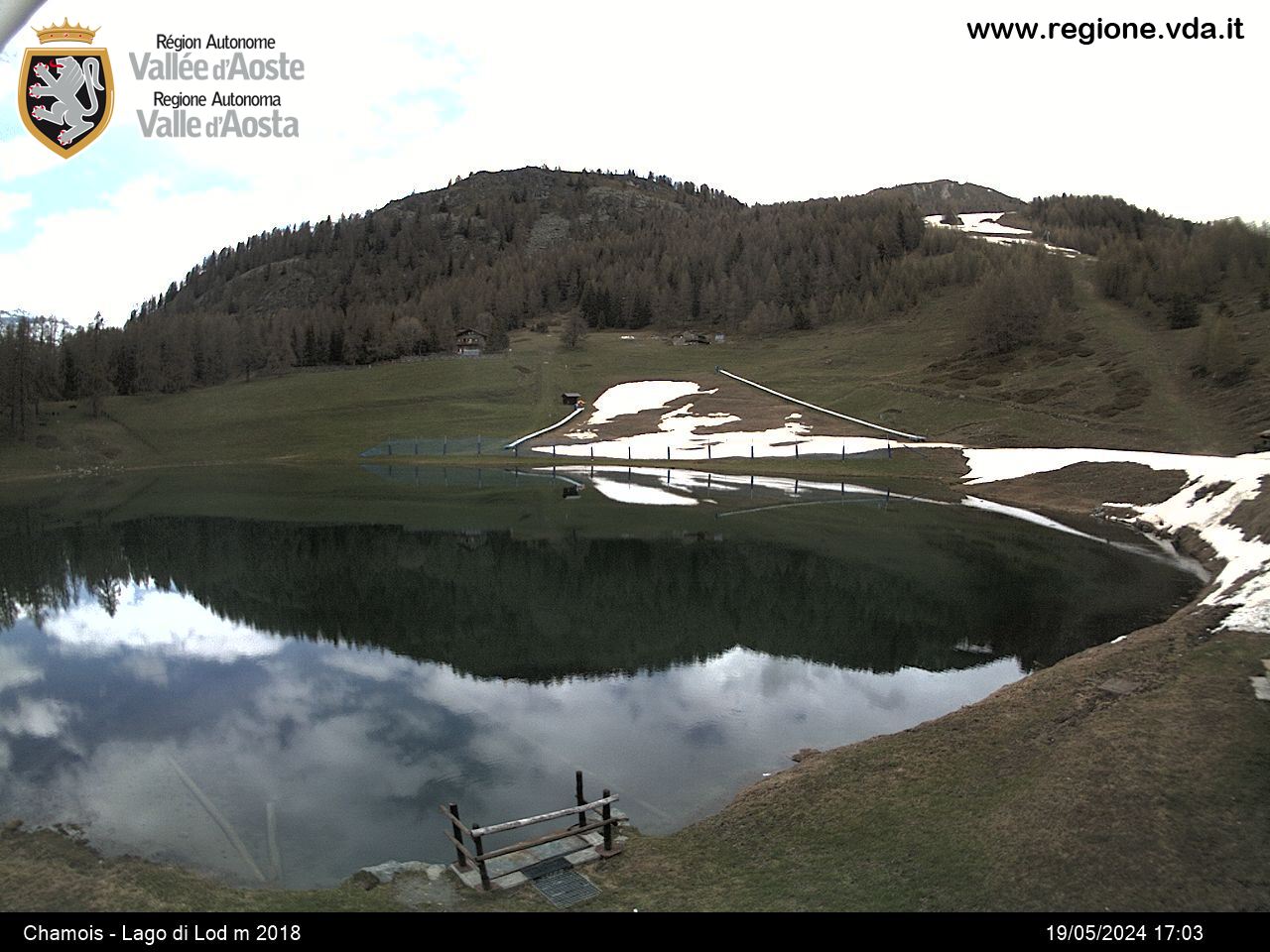
The route start from piazza Carrel crosses the town center towards Plan de la Glaea (departure of the Valtournenche lifts). From here you go along the ski slope back to the area, “il Pistone”, which in 2.5 kilometers gains over 600 meters of positive difference in height. The climb continues towards Motta di Pleté, where you travel about 3 kilometers behind a very panoramic ridge, a window on the Breuil basin, up to the summit of the Gran Sometta (3166m a.s.l.) where a Mountain Grand Prix will be set up. Continue towards Cervinia, passing by Cime Bianche Laghi and then down a very fast descent until you meet the old train tracks used to build the Goillet reservoir. For about 10 kilometers you run on the flat first and then on an easy hill, until you reach one of the Valle d’Aosta places most favored by mother nature: the Cheneil basin. A final, more technical downhill stretch and you reach Piazza Carrel again, which marks the arrival of the race.
The Mountain Connection Skyrace race is twinned with the Vertical Finestra di Cignana which will take place in Valtournenche on Saturday 5th June .
Among all the athletes who will take part in both events , a special combined ranking will be drawn up which will decree the absolute winners of the male and female categories of the 1st Mountain Connection Trophy .
Registrations are made online: //iscrizioni.wedosport.net/entry.cfm? Gara = 54149
Path:https: //www.relive.cc/view/vwq1w3eD8LO
Населенный пункт
-
E-mail:
-
Internet:


