Jean Antoine Carrel Bivouac
Типичные блюда
Altitude: 3,830 m
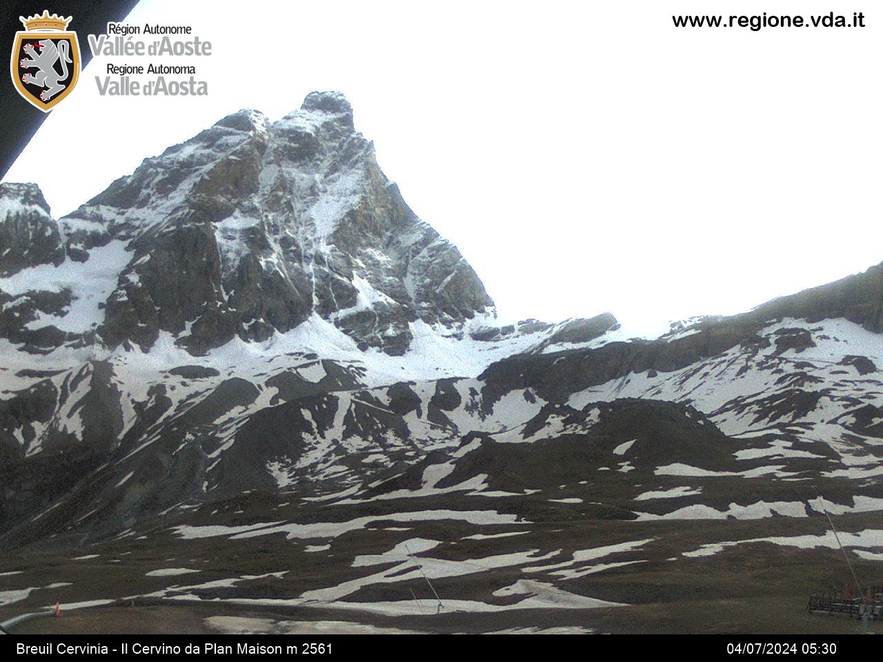
Location: Cresta del Leone del Cervino
Sleeping places: 40
Open: always open
Difficulty: D
Trail sign: no
Ascent: 4h from Ref. Duca degli Abruzzi
Coordinates UTM-WGS84: EAST 395311
Coordinates UTM-WGS84: NORTH 5092142
The hut, inaugurated in 1969, is dedicated to Jean-Antoine Carrel, the first climber of the Matterhorn along the South-West ridge (1865).
The final part of the route, despite the presence of fixed ropes, is reserved only to expert mountaineers.
Access
Uphill from the Duca degli Abruzzi-Oriondé refuge, you pass by the side of the old cableway. The trail passes between the rocks with several hairpin turns until the Croce Carrel, which can be reached in about 30 minutes.
There are some red arrows and varous cairns to follow that show the way to Colle del Leone.
After thirty minutes, you reach the foot of a couloir where the section for expert mountaineers begins. You climb over several rock faces with the aid of a rope for a few metres; continue to climb a slope of about 45 degrees on rocks and trails. You pass two commemorative plates, resume on the trail, and pass on the right of the glacier, reaching approximately an altitude of 3400 metres. Here the trail is cut off by a wall of rocks which is about 10 metres high. After climbing over this wall, you can start on the trail again and follow the cairns until arriving at the Testa del Leone and, after having reached this rocky wall, head more or less straight towards Colle del Leone at an altitude of 3581 metres.
The most challenging section of the climb to the J.A. Carrel mountain hut begins just after Colle del Leone.
You climb over several red rocks and ascend up the ridge on the southern side of the slope and on a diagonal couloir toreach a debris area. Leaving a more vertical wall on the right, you continue onto the left. On the trail up to the foot of the sloped ledges of the ridge, a brief but steep section (II) is found with bolts to secure yourself if you wish to continue on the rope. After this section you reach a broad, inclined ledge (Placca Seiler) beyond a small dihedral (III). Another short section of ledge (II) follows and then, always on the southern side with the fixed ropes, a short, exposed and inclined crossing is found: it takes you to a vertical wall which is equipped with a fixed rope.
After the slight overhanging rock a very flat and easy ledge is found, together with a brief section of trail on the north side of the ridge to reach the bivouac.
Equipment: mattresses, blankets, pillows, gas stove.
Renovation forecast summer 2024
It is advisable to contact the Guide Office for availability tel. 0039 375 7016650 / infocarrel@guidedelcervino.com*


