Trail Emarèse
4th edition
Trail of 22 Km with a difference of level of 1.400 m and a max altitude
of 2.106 m.
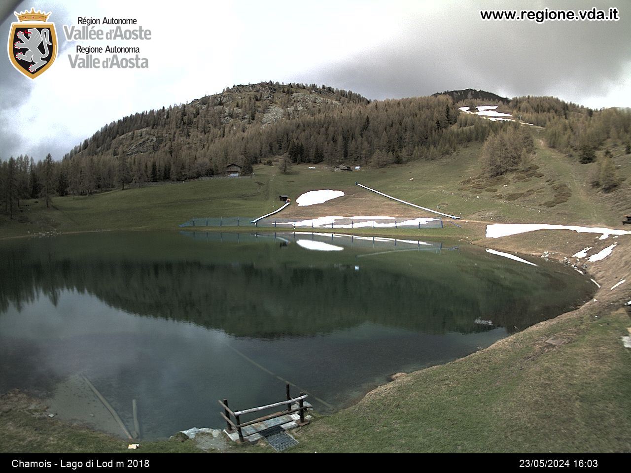
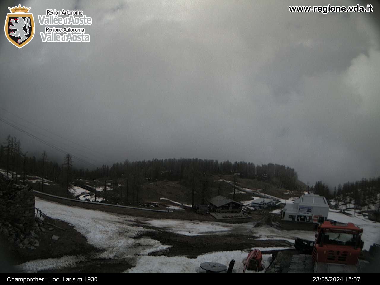
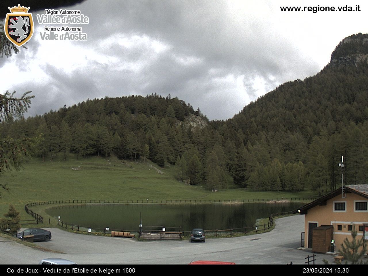
The race winds in a medium mountain territory, out from the big tourist flows and of the most important Aosta Valley trails. The departure is at Erésaz (1.190 m) and touches the main tourist points of attraction and almost all his characteristics hamlets, through a widespread net of paths.
The highest point of the trail is Tête de Comagne, 2.106 m.
Inscriptions on the web page of the race
Kids trail: 2 Km
Contactos
11020 EMARESE (AO)
-
Teléfono:(+39) 0166 519103
-
Fax:0166 519128
-
E-mail:
-
Internet:


