At the gate of the Park: Valnontey
Cogne
-
Difficulties:E - Excursionist
-
Best period:
December - March
-
Departure:Cogne (1.534 m).
-
Arrival:Valnontey (1.667 m).
-
Difference in level:122 m
-
Trail sign:3 and 5
-
GPS tracks:
This route joins Cogne with the hamlet of Valnontey.
Description of the route
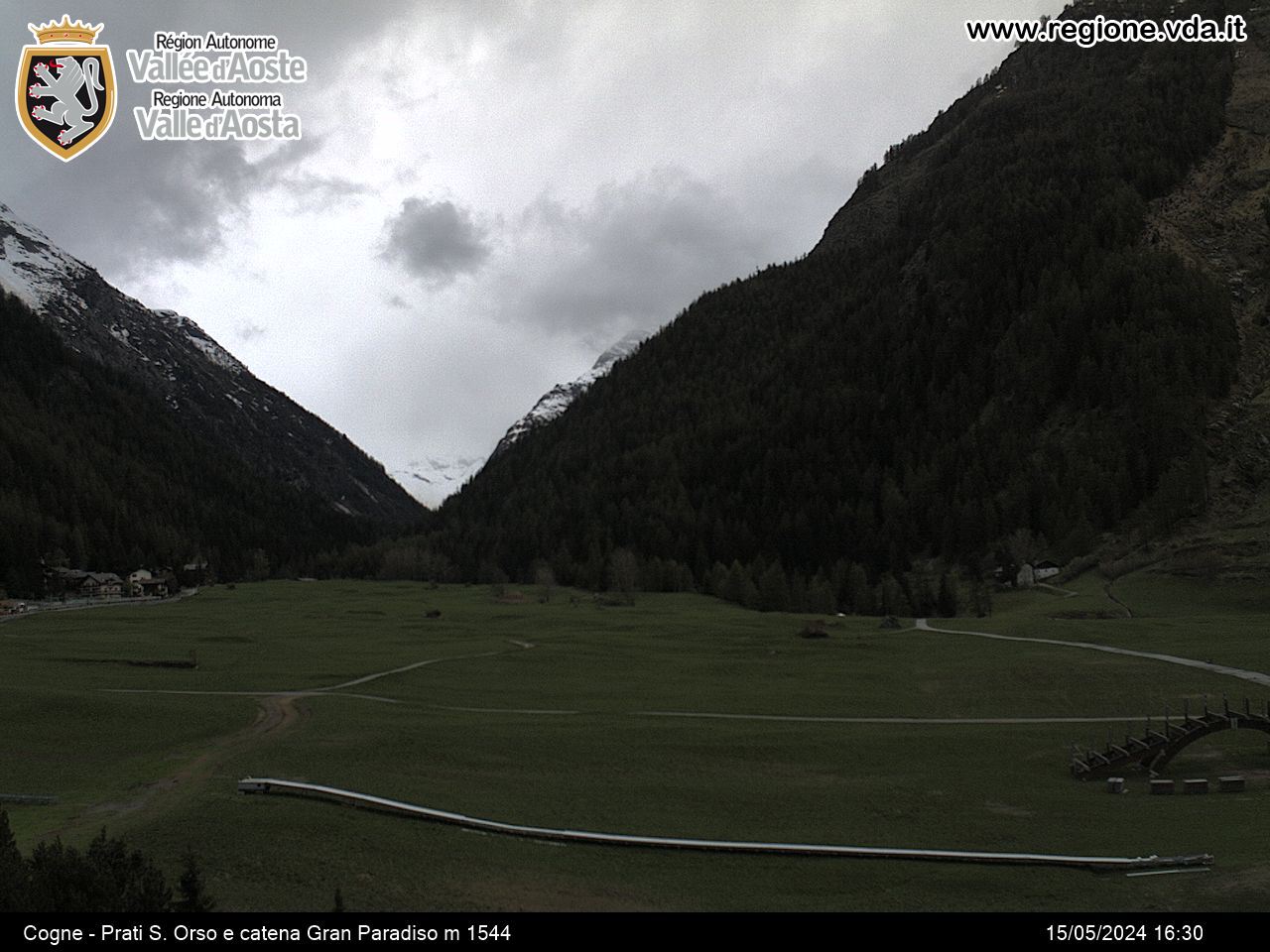
The stretch starts out at Son-le-Prò, goes on the left of the municipal road leading to Valnontey. After ups and downs in the wood, it crosses some wooden bridge, runs along the cross-country trail and comes to Valnontey, right in the heart of the National Park.
You will find a map outlininng the snowshoe routes in the area at the Cogne Tourist Office.
Contact
Ufficio del Turismo di Cogne
Rue Bourgeois, 34
11012 COGNE (AO)
-
Telephone:(+39) 0165.74040
-
E-mail:


