Discover the Aosta Valley by walking in its “high lands,” along the mid-mountain trails or in the valley floor.

Catch the scents carried by the wind in every season: the fragrance of flowers or resin, the crystalline smell of snow.
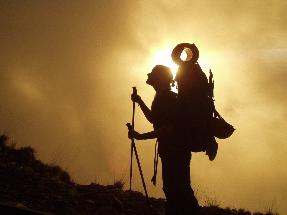
Step by step the path becomes a summit, the air smells of fulfilment and freedom, and enchanting views merge into a kaleidoscope of horizons.
The emotions go beyond the altitude and beyond the perception of the void, filled by so much beauty. The moment you gain the summit or reach your destination, the mountains and nature of the Aosta Valley repay your effort.

Depending on the time you have at your disposal, your training or your experience you can choose one-day excursions or treks lasting several days such as the Alte Vie trails or the international tours around the highest peaks of the Alps (including tour of Mont Blanc, Monte Rosa or Matterhorn). Discover the five stages of the Via Francigena in the Aosta Valley, or walk along the Cammino Balteo, ideal in spring and autumn.

For any further information on hiking and trail network in the Aosta Valley, please write to trekking@regione.vda.it

July 2024:

Due to the atmospheric events at the end of June some paths may be interrupted and unusable. While waiting for the complete reconnaissance of the trail network (and any restoration interventions), before embarking on the excursions it is advisable to find out on site about the conditions of practicability (contacting the forestry stations, the offices of the mountain guides, the keepers of the refuges)

Taking into account this summer's weather conditions, on the paths, especially above 2,500 metres above sea level and in shaded areas, at the passes and in canyons at medium and high altitudes, there is snow on the ground, where it is generally not present in this season, that in the morning or in cold weather can create difficulty in crossing (hard snow). It is therefore recommended to adopt appropriate equipment (hiking poles or ice axe, crampons, gaiters ...). Also you can find snowfields covering the the riverbeds that can, if crossed, break suddenly..

Info & News

Plan your hike

Geonavigator of the Aosta Valley

Geonavigator of the Aosta Valley

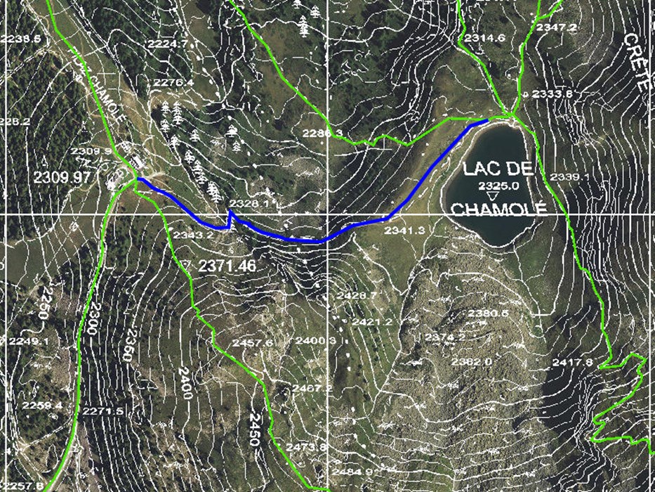
Consult the network of over 5,000 km of paths, search for them by municipality or create your own route by selecting the individual sections of the path. You can export tracks (GPX, KML).

go to the map navigator
Find a mountain hut

Find a mountain hut

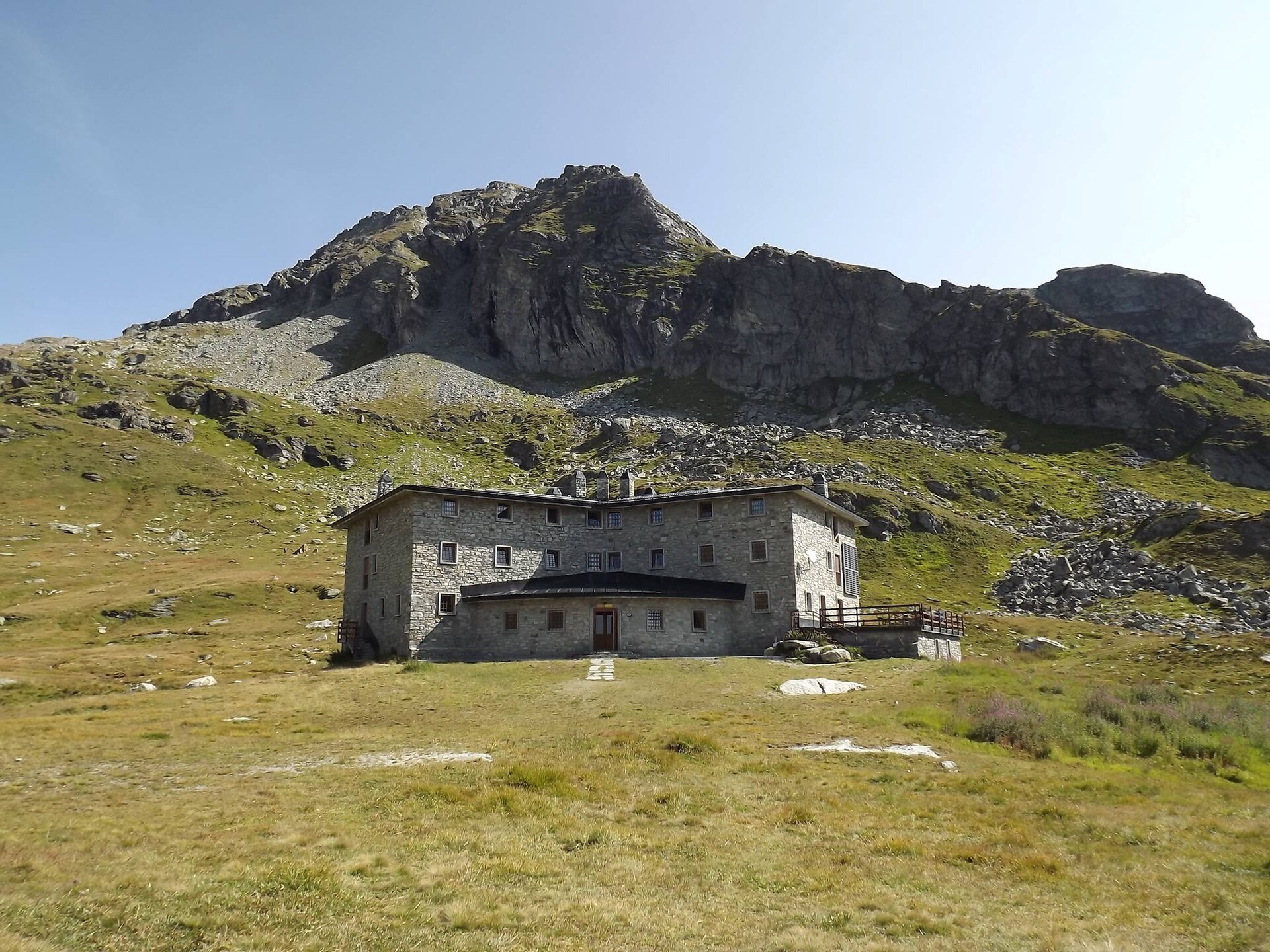
Find your mountain hut: to stay overnight during multi-day trekking or to have lunch after a short excursion. The research also includes stopping off points.

search
Find a bivouac-hut

Find a bivouac-hut

Unlike the mountain huts, they are shelters without caretaker, where you can overnight during the trek. They are usually open, but in some cases you may need to get the key in advance.

search
Via ferratas

Via ferratas

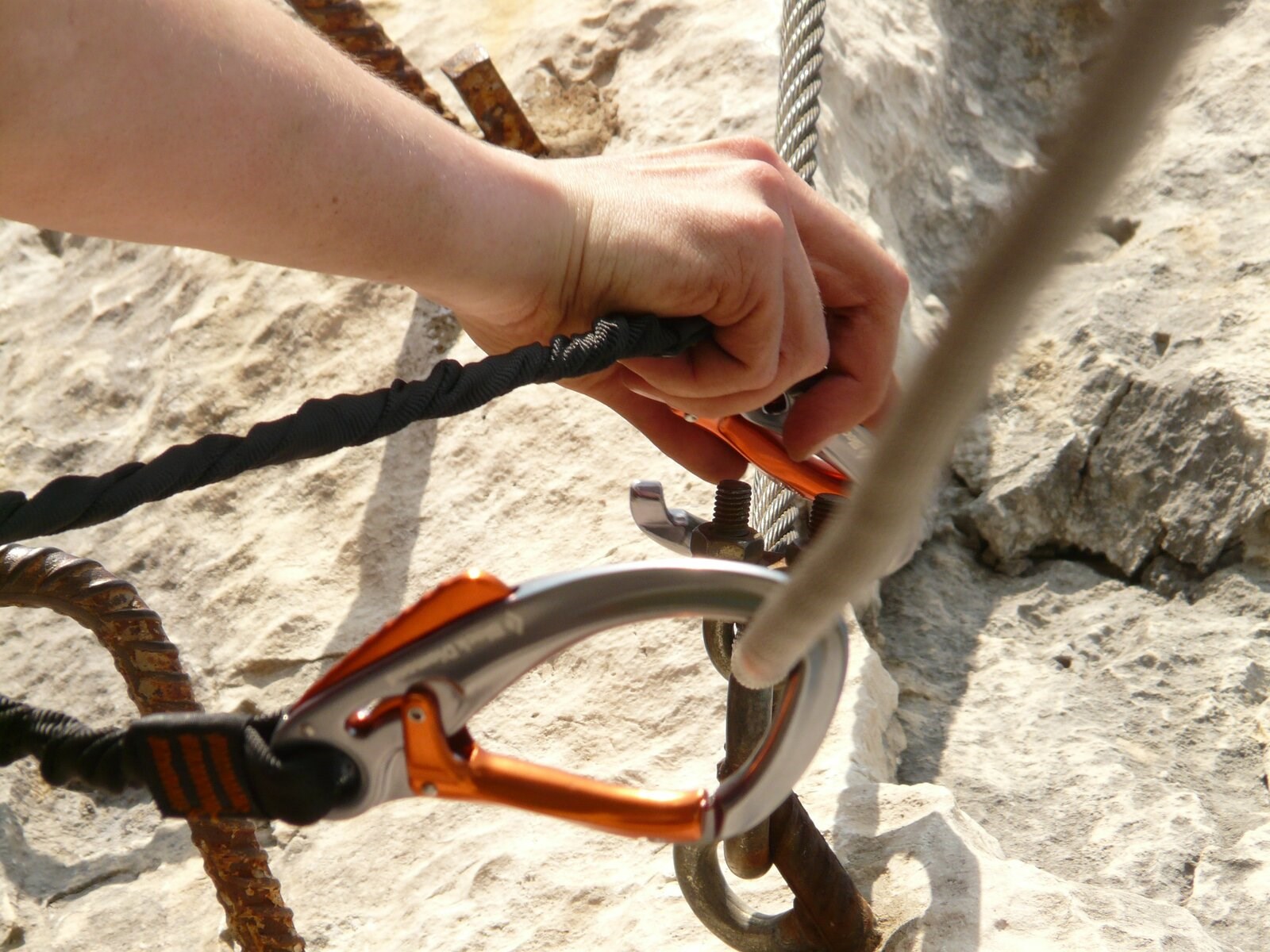
For more experienced hikers, some via ferratas and equipped trails in the Aosta Valley.

search
Find guided hikes

Find guided hikes

Find the guided hikes and walks along the paths of the Aosta Valley.

search
Hiking guides

Hiking guides

The hiking guides will accompany you on the paths of the Aosta Valley safely and transmit you their passion for the mountains and nature.

search