On the map above, the funnel-shaped symbol in the top right-hand corner allows you to choose which points of interest to view.
Click again on the funnel to close the legend and begin your exploration of the Mont Blanc tourist area, defined by the coloured area.
If you wish to explore further, you can access the corresponding descriptive sheet by clicking on the point identified.
Browse
Weather forecast
Meteo
Friday 9 May


Saturday 10 May


Sunday 11 May


Book your Holiday
Unique scenarios in the presence of the highest massif in Europe
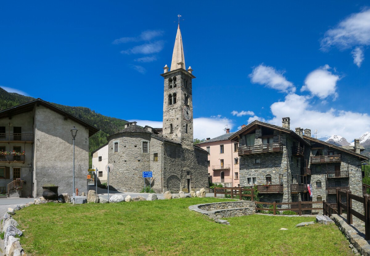
Mont Blanc, with its 4,807 metres, is one of the highest peak in the Alps and is the hub of this tourist area. It is part of an imposing mountain range, which dominates the municipalities of the valley floor - La Salle, Morgex, Pré-Saint-Didier, Courmayeur - which, with La Thuile, form the so-called "Valdigne".
At the foot of the chain, there are two particularly suggestive valleys, Val Veny, which runs alongside the Brenva glacier and which appears narrow, wild and rugged at the entrance and then transforms into a large flat basin, and Val Ferret, which it has a sweet, panoramic and relaxing appearance.
At Pré-Saint-Didier the La Thuile valley opens up, which reaches up to the Little Saint Bernard pass. The ancient Alpis Graia of the Romans constituted, since ancient times, the privileged passage to the other side of the Alps and in particular to Gaul. Even today the pass retains traces of its ancient history and represents a pleasant alternative to the Mont Blanc tunnel to reach France in the summer.
Info & News
-49.jpg?v=638318453540000000)
An unforgettable experience: a marvellous cable car ride through the heart of the Mont Blanc massif to Punta Helbronner (3,466 metres).
Continue-2R0A5804%20(1).jpg?v=638307980910000000)
Splendid valley at the foot of Mont Blanc as far as the col du Grand Ferret, towards Switzerland. Spectacular views all year round.
ContinuEDon't miss
-008.jpg?v=638269371180000000)
Pré-Saint-Didier Spa: relax among the peaks
Outdoor thermal pools and saunas with views of the Mont-Blanc.

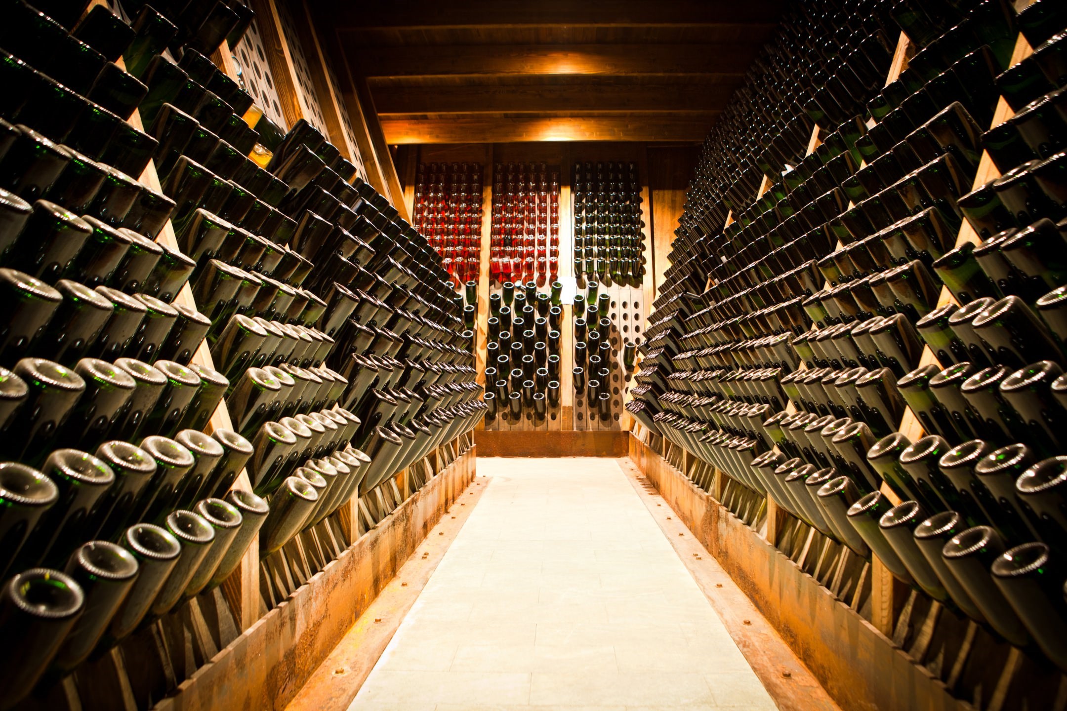
Cave Mont Blanc
In Morgex, the social wine cellar produces a renowned white wine from some of the highest vineyards in Europe. Guided tours can be organised by appointment.

Reading park
In Morgex a welcoming green area for visitors of all ages with views of Mont Blanc to discover the world of literature and stories.
-0353%20(1).jpg?v=638308246500000000)
Morgex barefooting path
Take off your shoes, step on the ground barefoot, feel the cool soil on your skin.

Walk from La Salle to Derby
Discover the itinerary from La Salle to Derby: a village that holds unsuspected historical treasures, witnesses of a glorious Middle Ages.
Events in the area
Courmayeur | 7 June 2025
Oktagon Valle d'Aosta - kickboxing world championships
Sport - CourmayeurGreat show in Courmayeur with the challenge between the number 1 and the number 3 of the ranking. 36 athletes in the ring, television coverage scheduled on DAZN.
La Thuile | 21 June 2025
Summer solstice at the Cromlech of the Little San Bernardo Pass
Culture - La ThuileThe magic of the summer solstice at the Cromlech of the Little San Bernardo Pass conveys a unique emotion. After 7pm, at the sunset behind Lancebranlette, a shadow advances and casts some particular outlines: if the weather is good, it is an unmissable event. The sunset will take place in the cromlech with its original shape. Public works to move the road which cut the cromlech into two parts are finally over. The cromlech is now how it was when it was bilt and it turns to be a very important point for astronomic observations.
| 3 - 6 July 2025
Celtica Valle d'Aosta - International Celtic music, art and culture festival
Entertainment and shows -Courmayeur and the splendid setting of the Peuterey woods in the Veny Valley at the foot of Mont Blanc are hosting Celtica Valle d’Aosta, Europe’s most elevated international Celtic music, art and culture festival.
La Thuile | 3 - 6 July 2025
Mountain Bike World Cup: Downhill and Enduro
Sport - La ThuileLa Thuile is once again in the spotlight of international mountain biking. Double appointment with the UCI Mountain Bike Downhill and Enduro World Cup scheduled from 3 to 6 July 2025.
Courmayeur | 6 - 13 July 2025
Courmayeur in Danza
Entertainment and shows - Courmayeur“Courmayeur in Danza”, shows and events during the week dedicated to dance classes for children, with professional teachers.
Webcam Mont Blanc


-0585.jpg?v=638307980900000000)